2026-02-18T17:00:00-07:00
* WHAT...Snow expected. Total snow accumulations between 1 to 4 inches with higher totals up to 10 inches above 7000 feet. * WHERE...South Central Utah, Upper Sevier River Valleys, and Zion National Park. * WHEN...From 8 PM this evening to 5 PM MST Wednesday. * IMPACTS...Winter driving conditions are likely.
Summary
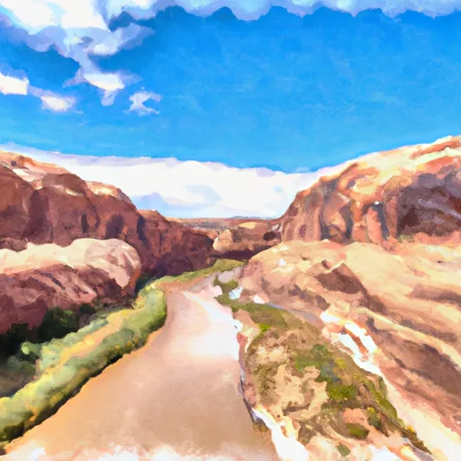
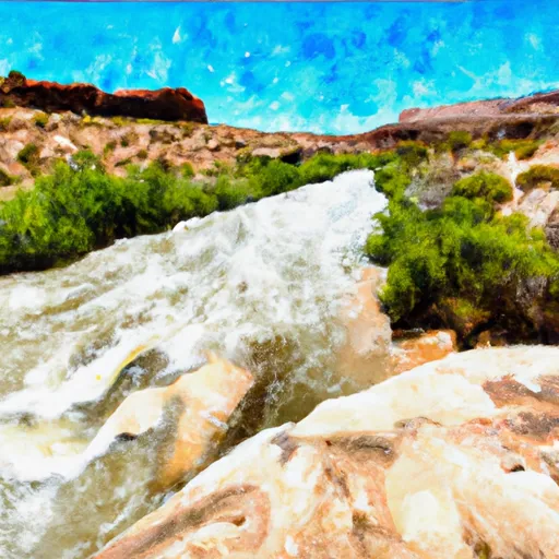
The ideal streamflow range for this run is between 800 and 4,000 cfs, which typically occurs in the spring and early summer months. The river is rated as Class III-IV, meaning it has moderate to difficult rapids and requires significant experience to navigate.
The segment of the run is approximately 48 miles long, starting at the Western Boundary of Glen Canyon National Recreation Area and ending at the confluence with the Escalante River. Along the way, boaters will encounter numerous rapids and obstacles, including Hades Hole, Waterfall Rapid, and the infamous Hell's Half Mile.
It's important to note that the Whitewater River Run is located within a protected area and is subject to specific regulations. Boaters are required to obtain a permit from the National Park Service and follow guidelines for camping and waste disposal. The use of motorized boats is prohibited, and boaters must be self-sufficient and able to carry all necessary equipment and supplies.
Overall, the Whitewater River Run offers a thrilling adventure for experienced boaters in Utah. It's important to plan carefully and follow regulations to ensure a safe and enjoyable trip.
°F
°F
mph
Wind
%
Humidity
15-Day Weather Outlook
River Run Details
| Last Updated | 2026-02-07 |
| River Levels | 14 cfs (1.76 ft) |
| Percent of Normal | 62% |
| Status | |
| Class Level | iii-iv |
| Elevation | ft |
| Run Length | 6.0 Mi |
| Streamflow Discharge | cfs |
| Gauge Height | ft |
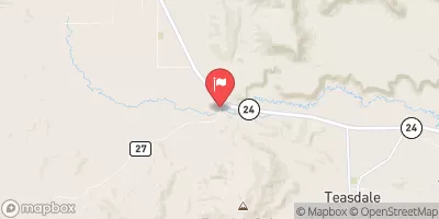
| Reporting Streamgage | USGS 09337500 |
5-Day Hourly Forecast Detail
Nearby Streamflow Levels
 Escalante River Near Escalante
|
2cfs |
 Pine Creek Near Escalante
|
2cfs |
 Paria River Near Kanab
|
21cfs |
 Paria River At Lees Ferry
|
15cfs |
 Colorado River At Lees Ferry
|
10300cfs |
 Fremont River Near Bicknell
|
74cfs |


 Western Boundary Of Glen Canyon National Recreation Area To Confluence With Escalante River
 Twenty Five Mile Wash #2
 Unnamed Wash (4)
 Escalante River