Summary
The ideal streamflow range for this run is around 200-400 cfs. The class rating for this run is class III-IV, with some technical rapids and obstacles that require skill and experience to navigate safely.
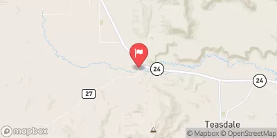
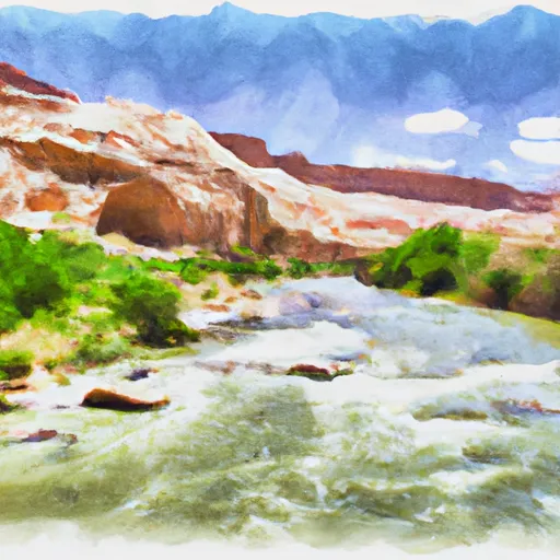
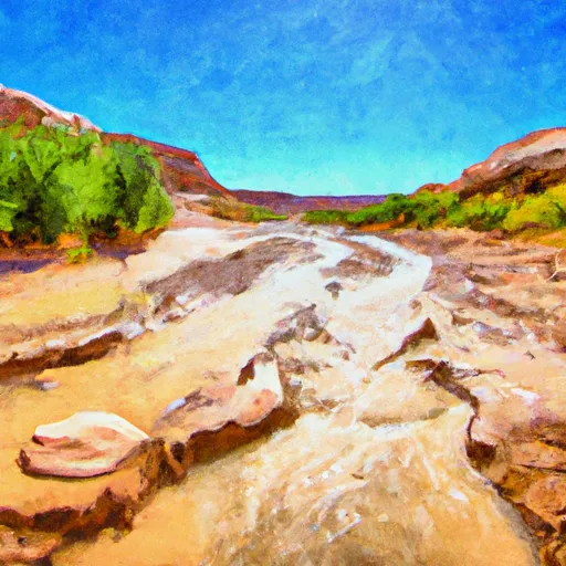
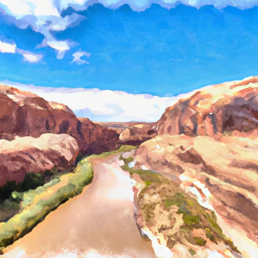
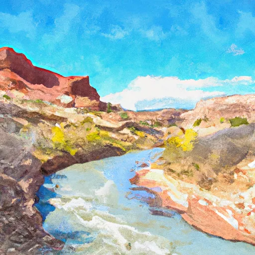
The segment mileage for this run is approximately 6 miles. The river starts off with some smaller rapids before transitioning into a series of technical drops and boulder gardens. One notable rapid on this run is called "The Squeeze," which requires precise maneuvering through a narrow channel between two large boulders.
There are specific regulations to the area that should be followed by all boaters. The BLM requires a permit for floating the river and has strict guidelines on group sizes, camping, and waste disposal. It is important to check current water levels and weather conditions before embarking on this run, as flash floods and high water can make this run dangerous and unpredictable.
Overall, the Unnamed Wash (4) is a challenging and exciting river run that requires skill and experience to navigate safely. It is important to follow all regulations and guidelines to ensure the safety of all boaters on this run.
°F
°F
mph
Wind
%
Humidity
15-Day Weather Outlook
River Run Details
| Last Updated | 2025-06-28 |
| River Levels | 14 cfs (1.76 ft) |
| Percent of Normal | 5% |
| Status | |
| Class Level | iii-iv |
| Elevation | ft |
| Streamflow Discharge | cfs |
| Gauge Height | ft |
| Reporting Streamgage | USGS 09337500 |
5-Day Hourly Forecast Detail
Nearby Streamflow Levels
 Escalante River Near Escalante
|
2cfs |
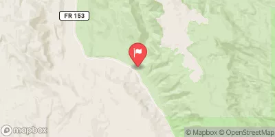 Pine Creek Near Escalante
|
2cfs |
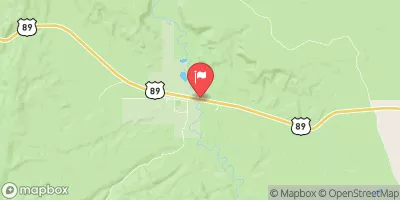 Paria River Near Kanab
|
21cfs |
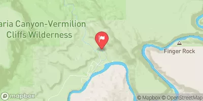 Paria River At Lees Ferry
|
15cfs |
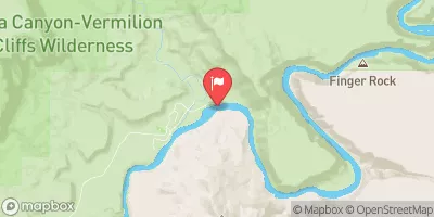 Colorado River At Lees Ferry
|
10300cfs |
 Fremont River Near Bicknell
|
74cfs |


 Twenty Five Mile Wash #2
 Unnamed Wash (4)
 Western Boundary Of Glen Canyon National Recreation Area To Confluence With Escalante River
 Headwaters (North Of Twenty-Five Mile Creek) To Confluence With Escalante River