Boundary Of Glen Canyon National Recreation Area To Confluence With Lake Powell Paddle Report
Last Updated: 2026-02-07
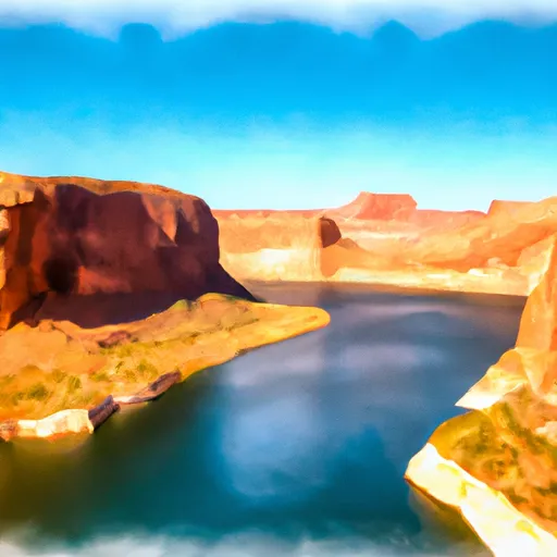
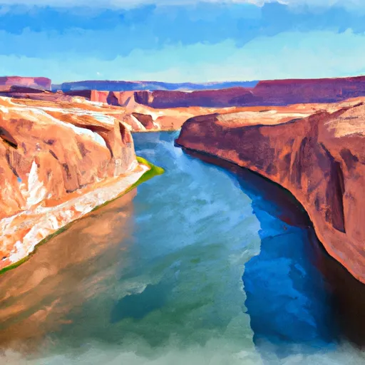
The Whitewater River Run from the boundary of Glen Canyon National Recreation Area to the confluence with Lake Powell in Utah is an exciting adventure for skilled kayakers and paddlers.
Summary
The ideal streamflow range for this section is between 2,000-7,000 cubic feet per second (cfs), which provides for an exhilarating ride with challenging rapids. The class rating for this section varies between Class II-IV depending on the water level.
The segment mileage of this run is approximately 12 miles, with specific river rapids and obstacles such as House Rock Rapid, Last Chance Rapid, and the infamous Mile Long Rapid. These rapids require technical skills and experience to navigate safely. Paddlers should be prepared for large waves, steep drops, and strong currents.
Specific regulations apply to this area, which include the use of a personal flotation device (PFD) and a helmet. Additionally, motorized watercraft are not allowed in this section of the river, and camping is only permitted in designated areas. Paddlers should also be aware of the Leave No Trace principles and pack out all trash and waste.
Overall, the Whitewater River Run from the boundary of Glen Canyon National Recreation Area to the confluence with Lake Powell in Utah is a thrilling adventure for experienced paddlers. It is important to check the current streamflow levels and weather conditions before embarking on this journey.
°F
°F
mph
Wind
%
Humidity
15-Day Weather Outlook
River Run Details
| Last Updated | 2026-02-07 |
| River Levels | 162 cfs (6.14 ft) |
| Percent of Normal | 74% |
| Status | |
| Class Level | ii-iv |
| Elevation | ft |
| Run Length | 3.0 Mi |
| Streamflow Discharge | cfs |
| Gauge Height | ft |
| Reporting Streamgage | USGS 09333500 |


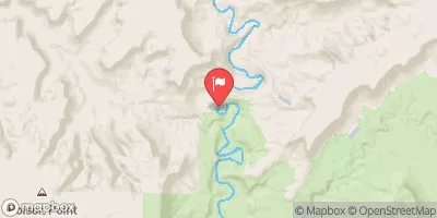
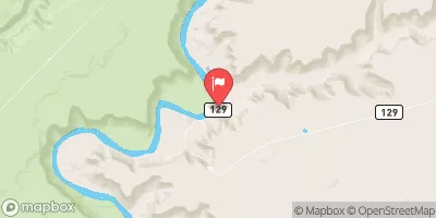

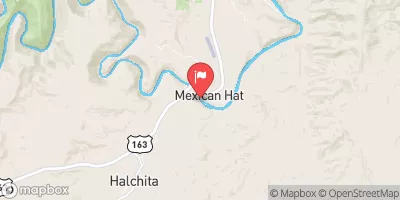
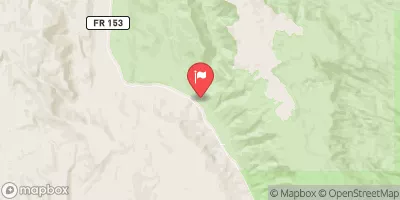
 Hite Marina Campground
 Dirty Devil Dispersed - Glen Canyon NRA
 Farley Canyon Dispersed - Glen Canyon NRA
 Hite Dispersed - Glen Canyon NRA
 Star Spring
 Starr Springs
 Boundary Of Glen Canyon National Recreation Area To Confluence With Lake Powell
 Maidenwater Creek
 Eastern Boundary Of Glen Canyon National Recreation Area To Confluence With Lake Powell