
Summary
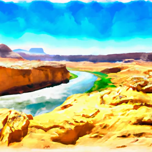
The ideal streamflow range for this run is between 800-2,000 cfs, which provides challenging yet manageable rapids. This class III-IV river run spans 45 miles from the Western Boundary of Glen Canyon National Recreation Area to the Confluence with Escalante River.
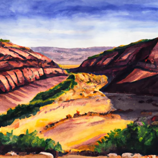
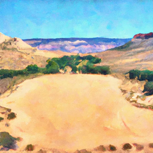
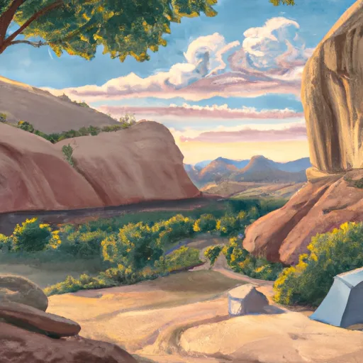
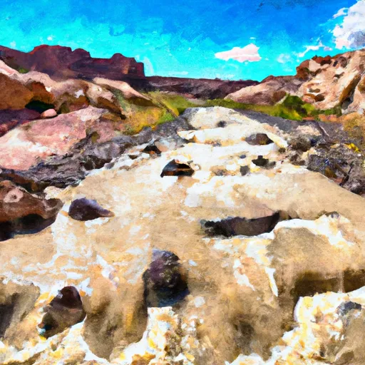
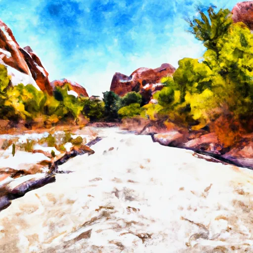
The river features several rapids and obstacles that require skilled paddling and maneuvering, including the House Rock Rapid, Three Fords Rapid, and the infamous Last Chance Rapid. The run also offers stunning scenery, including red sandstone cliffs and the clear blue waters of Lake Powell.
Specific regulations for the area include obtaining a permit from the National Park Service, which limits access to certain areas and ensures the safety of all visitors. Additionally, all boaters are required to adhere to Leave No Trace principles and properly dispose of waste.
Overall, the Whitewater River Run is a must-do adventure for experienced paddlers seeking an exciting and challenging river run in a breathtaking natural setting.
°F
°F
mph
Wind
%
Humidity
15-Day Weather Outlook
River Run Details
| Last Updated | 2026-03-28 |
| River Levels | 14 cfs (1.76 ft) |
| Percent of Normal | 13% |
| Status | |
| Class Level | iii-iv |
| Elevation | ft |
| Run Length | 8.0 Mi |
| Streamflow Discharge | cfs |
| Gauge Height | ft |
| Reporting Streamgage | USGS 09337500 |

5-Day Hourly Forecast Detail
Nearby Streamflow Levels
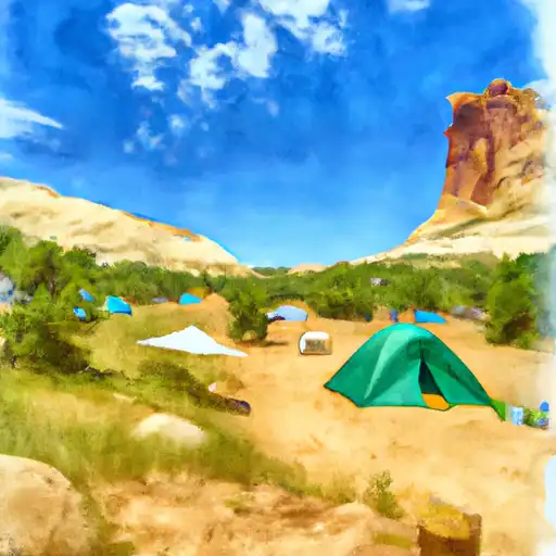
Area Campgrounds
| Location | Reservations | Toilets |
|---|---|---|
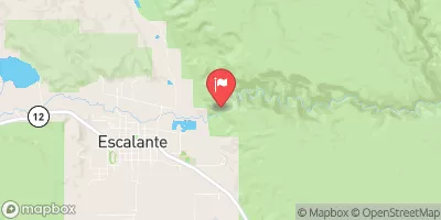
 Harris Wash - Grand Staircase Nat Mon
|
||
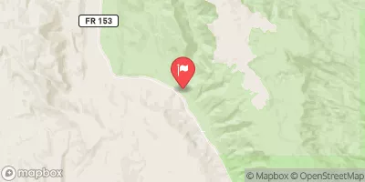
 Little Spencer Flat Dispersed - Grand Staircase Nat Mon
|
||
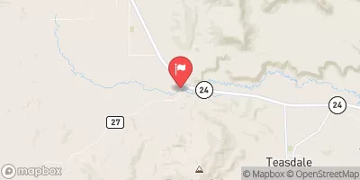
 Calf Creek
|
||
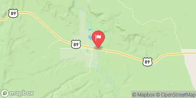
 Calf Creek Recreation Area
|
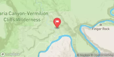
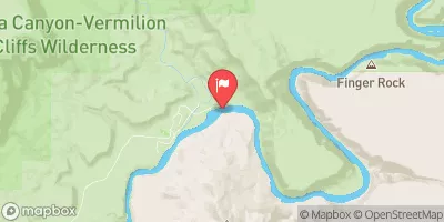
 Western Boundary Of Glen Canyon National Recreation Area To Confluence With Escalante River
 Harris Wash
 Escalante River