
Summary
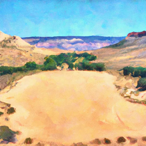
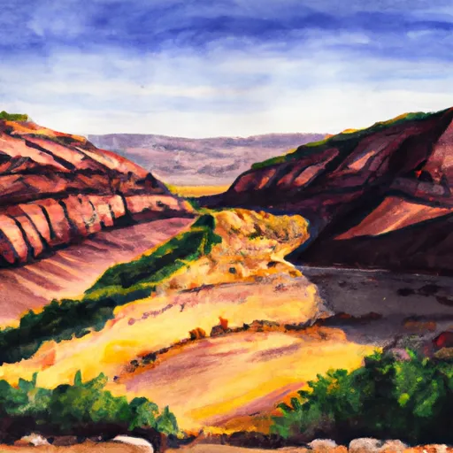
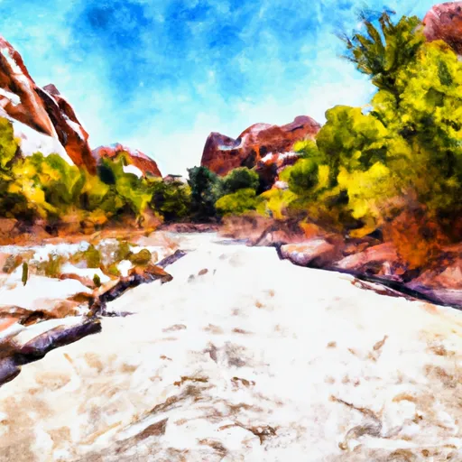
The ideal streamflow range for the river is between 200-400 cfs, providing ample water for exciting rapids while still allowing for safe navigation. The river is rated as a class III-IV run, with sections of challenging whitewater interspersed with calm stretches of river. The total mileage for the Escalante River run is approximately 90 miles, with various access points along the way.
One of the most notable aspects of the Escalante River run is the presence of several prominent rapids and obstacles. These include the Boulder Choke, a narrow section of the river that requires expert maneuvering to navigate safely, as well as the Plunge, another challenging rapid that requires careful planning and execution. Other sections of the river feature steep drops, tight turns, and rocky obstacles that require precise paddling skills.
In terms of regulations, visitors to the Escalante River run should be aware of the need for proper permits and wilderness permits, as well as restrictions on camping and fires. Additionally, visitors should take care to pack out all trash and refuse, and avoid damaging or disturbing the delicate ecosystem of the surrounding area. By following these guidelines and respecting the natural environment, paddlers can enjoy a thrilling and rewarding whitewater experience on the Escalante River.
°F
°F
mph
Wind
%
Humidity
15-Day Weather Outlook
River Run Details
| Last Updated | 2025-06-28 |
| River Levels | 14 cfs (1.76 ft) |
| Percent of Normal | 5% |
| Status | |
| Class Level | iii-iv |
| Elevation | ft |
| Streamflow Discharge | cfs |
| Gauge Height | ft |
| Reporting Streamgage | USGS 09337500 |

5-Day Hourly Forecast Detail
Nearby Streamflow Levels
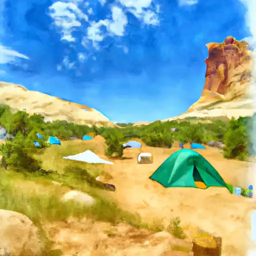
Area Campgrounds
| Location | Reservations | Toilets |
|---|---|---|
 Little Spencer Flat Dispersed - Grand Staircase Nat Mon
|
||
 Harris Wash - Grand Staircase Nat Mon
|
||
 Calf Creek
|
||
 Calf Creek Recreation Area
|
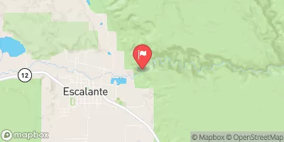
 Escalante River
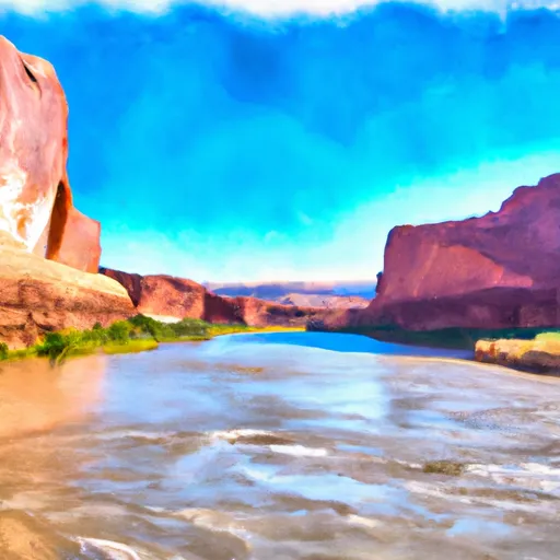 Northern Boundary Of Glen Canyon National Recreation Area To Confluence With Colorado River