Summary
The ideal streamflow range for this stretch of river is between 800-20,000 cubic feet per second (cfs). The class rating for this run ranges from Class II to Class IV, with some rapids being more technical and challenging than others.
This segment of the river stretches for 14.5 miles and features a variety of rapids and obstacles, including Horseshoe Bend Rapid, The Slide, and Little Niagara. These rapids range in difficulty from Class II to Class IV, with Horseshoe Bend Rapid being the most challenging.
In order to protect the natural resources and ensure the safety of visitors, there are specific regulations in place for this area. Permits are required for all overnight trips and are limited to a certain number of visitors per day. Additionally, motorized boats are not allowed on this stretch of the river.
Overall, the Whitewater River Run in the Glen Canyon National Recreation Area offers a thrilling and scenic adventure for experienced river runners. It is important to respect the regulations and guidelines in place to protect the natural resources and ensure the safety of all visitors.
°F
°F
mph
Wind
%
Humidity
15-Day Weather Outlook
River Run Details
| Last Updated | 2026-02-07 |
| River Levels | 162 cfs (6.14 ft) |
| Percent of Normal | 74% |
| Status | |
| Class Level | ii-iv |
| Elevation | ft |
| Run Length | 4.0 Mi |
| Streamflow Discharge | cfs |
| Gauge Height | ft |
| Reporting Streamgage | USGS 09333500 |


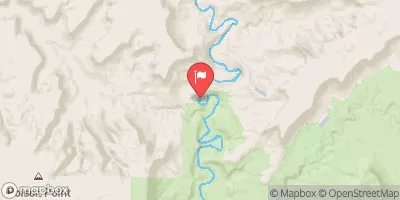
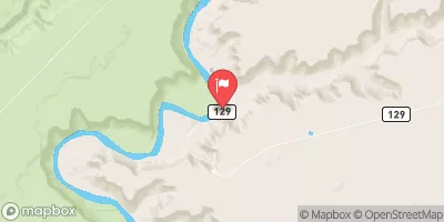
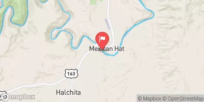
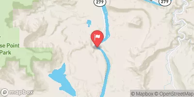
 Hite Dispersed - Glen Canyon NRA
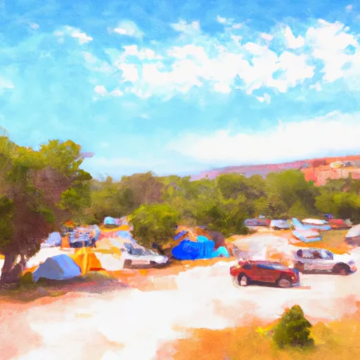 Hite Marina Campground
 Farley Canyon Dispersed - Glen Canyon NRA
 Dirty Devil Dispersed - Glen Canyon NRA
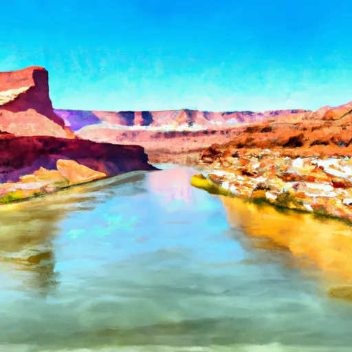 Boundary Of Glen Canyon National Recreation Area. To Confluence With Colorado River
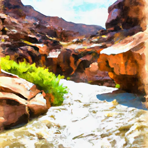 Dark Canyon
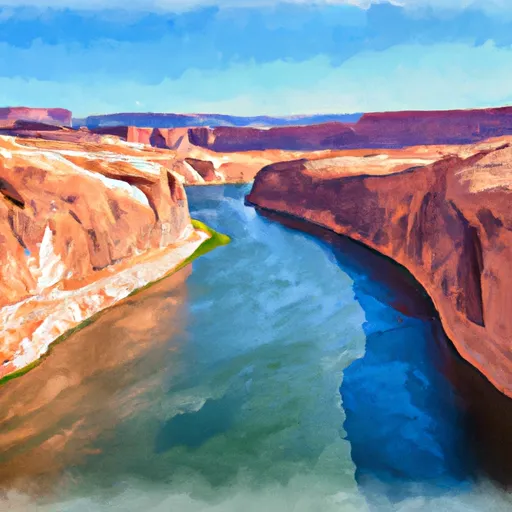 Eastern Boundary Of Glen Canyon National Recreation Area To Confluence With Lake Powell
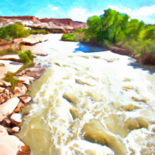 Fable Valley