2026-02-18T17:00:00-07:00
* WHAT...Snow expected. Total snow accumulations between 1 to 4 inches with higher totals up to 10 inches above 7000 feet. * WHERE...South Central Utah, Upper Sevier River Valleys, and Zion National Park. * WHEN...From 8 PM this evening to 5 PM MST Wednesday. * IMPACTS...Winter driving conditions are likely.
Summary
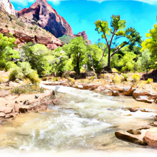
This segment of the river is rated as Class III, with a recommended optimal streamflow range of 200-600 cubic feet per second (cfs) during the peak season from May to June. The river rapids and obstacles along the route include the "S-Turn," the "Widowmaker," and "Pinball," which offer challenging features for experienced rafters.
It is important to note that the Bureau of Land Management oversees the management and protection of the Whitewater River Run. As such, all visitors are required to obtain a permit before accessing the area. Additionally, specific regulations are in place to protect the environment, including a "pack it in, pack it out" policy, and the prohibition of camping within 200 feet of the river's edge.
Overall, the Whitewater River Run offers a thrilling experience for rafters, kayakers, and other water sports enthusiasts. Visitors must maintain awareness and follow regulations to ensure the safety of themselves and the environment.
°F
°F
mph
Wind
%
Humidity
15-Day Weather Outlook
River Run Details
| Last Updated | 2026-02-07 |
| River Levels | 184 cfs (8.35 ft) |
| Percent of Normal | 83% |
| Status | |
| Class Level | iii |
| Elevation | ft |
| Run Length | 5.0 Mi |
| Streamflow Discharge | cfs |
| Gauge Height | ft |
| Reporting Streamgage | USGS 09405500 |
5-Day Hourly Forecast Detail
Nearby Streamflow Levels
Area Campgrounds
| Location | Reservations | Toilets |
|---|---|---|
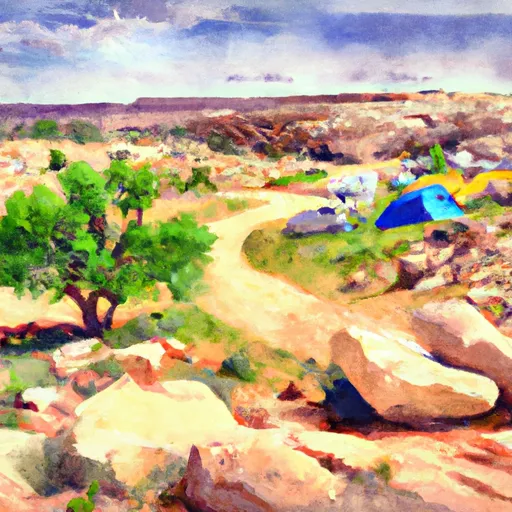 Scoggins Wash
|
||
 Campgroung 1
|
||
 South Campground Site 10
|
||
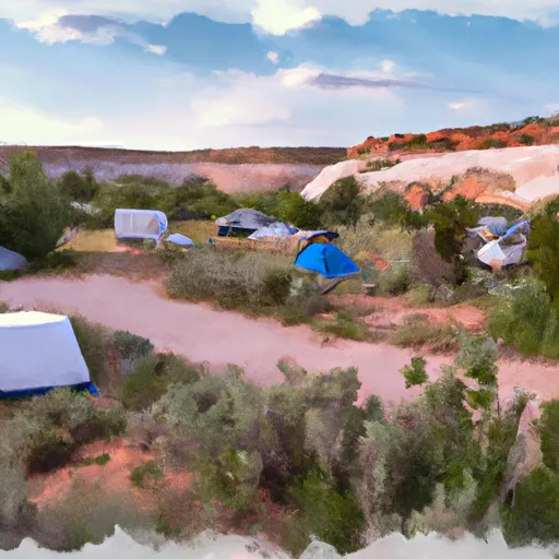 South Campground Site 18
|
||
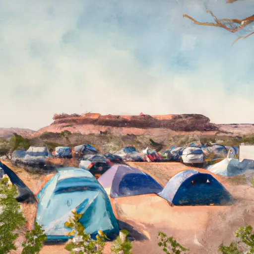 South Campground Site 21
|
||
 South Campground Site 14
|


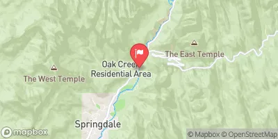
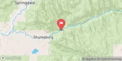

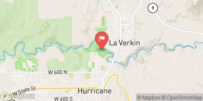
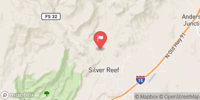

 Headwaters To Confluence With Coalpits Wash
 Virgin River
 Headwaters To Southern Boundary Of Zion National Park
 Wilderness Zion Wilderness (draft boundary)
 Goose Creek Wilderness
 Deep Creek Wilderness
 Blackridge Wilderness
 Red Butte Wilderness