Summary
The ideal streamflow range for this run is between 200 and 600 cfs, although some thrill-seekers may tackle it at higher levels. This segment covers a distance of approximately 8.5 miles and has a class rating of III-IV.
The river rapids and obstacles on this run include Boulder Falls, a steep staircase drop that requires precise navigation, and the Class IV V-Notch, a narrow chute that can be challenging to navigate. The run also has several Class III rapids, such as Cutthroat, which features a large boulder in the middle of the channel.
There are specific regulations that apply to this area, including a permit requirement for commercial outfitters and a prohibition on camping within 150 feet of the river. Visitors are also required to pack out all trash and follow Leave No Trace principles to preserve the natural beauty of the area.
°F
°F
mph
Wind
%
Humidity
15-Day Weather Outlook
River Run Details
| Last Updated | 2026-01-12 |
| River Levels | 4 cfs (1.73 ft) |
| Percent of Normal | 256% |
| Status | |
| Class Level | iv-iii |
| Elevation | ft |
| Streamflow Discharge | cfs |
| Gauge Height | ft |
| Reporting Streamgage | USGS 09337000 |
5-Day Hourly Forecast Detail
Nearby Streamflow Levels
Area Campgrounds
| Location | Reservations | Toilets |
|---|---|---|
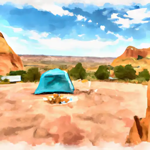 Escalante State Park
|
||
 Escalante Outfitters Campground
|
||
 Posey Lake Campground
|
||
 Posy Lake
|
||
 Blue Spruce
|
||
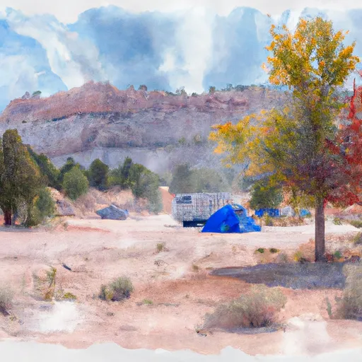 Blue Spruce Campground
|


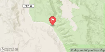

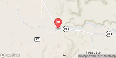
 Headwaters To Nf Boundary
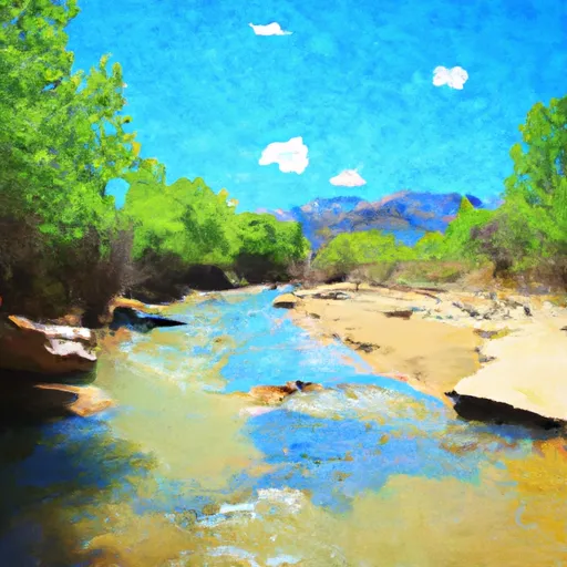 Mamie Creek & West Tributary
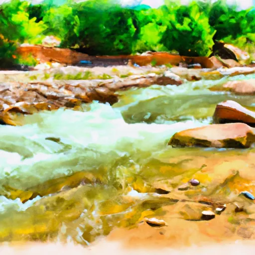 Death Hollow Creek