Summary
The ideal streamflow range for this river run is 200-800 cubic feet per second (cfs), which typically occurs from April through June. The river rapids and obstacles include the Entrance Rapid, Pinball, Double Drop, and the most challenging rapids called the Screaming Left and the Pencil Sharpener.
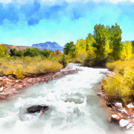
The Mamie Creek and West Tributary river run is known for its beautiful scenery, including towering red rock cliffs and scenic views of the surrounding mountains. The segment mileage of the river run is 14 miles, and it typically takes around five to six hours to complete.
The area is regulated by the Bureau of Land Management (BLM), and permits are required for all visitors. The BLM also enforces regulations to protect the unique environment and wildlife in the area, including the prohibition of soap and other pollutants in the river. Additionally, visitors are required to pack out all trash and debris they bring into the area.
In summary, the Mamie Creek and West Tributary Whitewater River Run in Utah offers an exciting adventure for experienced rafters with Class III to IV rapids, stunning scenery, and a challenging yet rewarding experience. Visitors are required to obtain permits and follow regulations to protect the environment and wildlife in the area.
°F
°F
mph
Wind
%
Humidity
15-Day Weather Outlook
River Run Details
| Last Updated | 2025-06-28 |
| River Levels | 4 cfs (1.73 ft) |
| Percent of Normal | 8% |
| Status | |
| Class Level | iii |
| Elevation | ft |
| Streamflow Discharge | cfs |
| Gauge Height | ft |
| Reporting Streamgage | USGS 09337000 |
5-Day Hourly Forecast Detail
Nearby Streamflow Levels
Area Campgrounds
| Location | Reservations | Toilets |
|---|---|---|
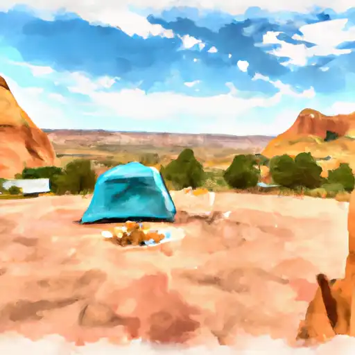 Escalante State Park
|
||
 Escalante Outfitters Campground
|
||
 Posey Lake Campground
|
||
 Posy Lake
|
||
 Blue Spruce
|
||
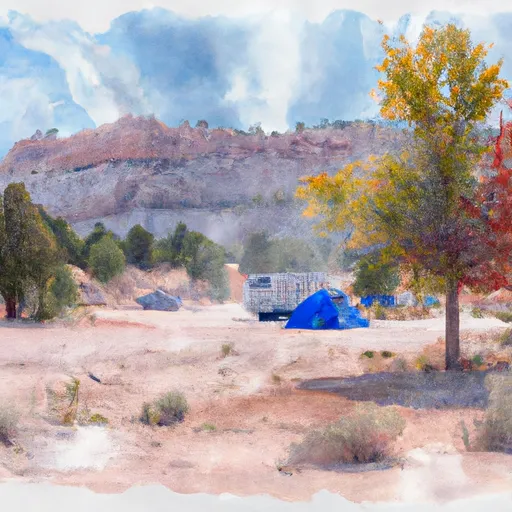 Blue Spruce Campground
|


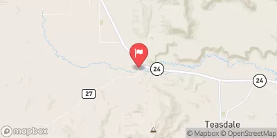
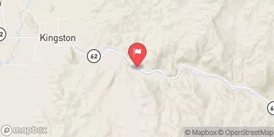
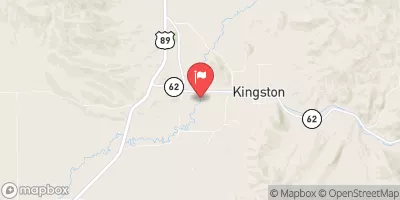

 Mamie Creek & West Tributary
 Headwaters To Nf Boundary
 Death Hollow Creek