Summary
The ideal streamflow range for this run is between 300 and 800 cubic feet per second (cfs), which can be checked on the USGS website. This segment of the river is classified as Class III-IV rapids, with some rapids reaching Class V during high water.
The segment of the Whitewater River Run from the elevation of 6720 feet to the NF Boundary is approximately 8 miles long, with some of the most challenging rapids occurring in the upper section of the run. Specific rapids to watch out for include "The Chute," "Pinball," and "S-Turns."
It's important to note that this run is only recommended for experienced kayakers and rafters, as the rapids can be extremely challenging and dangerous. Additionally, there are specific regulations in place for this area, including a permit requirement for commercial outfitters and a restriction on camping along the river.
Overall, the Whitewater River Run is an exciting and challenging adventure for experienced kayakers and rafters, but it's important to approach it with caution and respect for the regulations in place.
°F
°F
mph
Wind
%
Humidity
15-Day Weather Outlook
River Run Details
| Last Updated | 2026-02-07 |
| River Levels | 14 cfs (1.76 ft) |
| Percent of Normal | 62% |
| Status | |
| Class Level | iii-iv |
| Elevation | ft |
| Streamflow Discharge | cfs |
| Gauge Height | ft |
| Reporting Streamgage | USGS 09337500 |


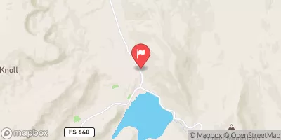
 Steep Creek Bench - Burr Trail Rd - Grand Staircase Nat Mon
 Deer Creek- Burr Trail Rd - Grand Staircase Nat Mon
 Durffey Mesa Dispersed - Burr Trail Rd - Grand Staircase Nat Mon
 Horse Canyon - Grand Staircase Nat Mon
 Calf Creek Recreation Area
 Calf Creek
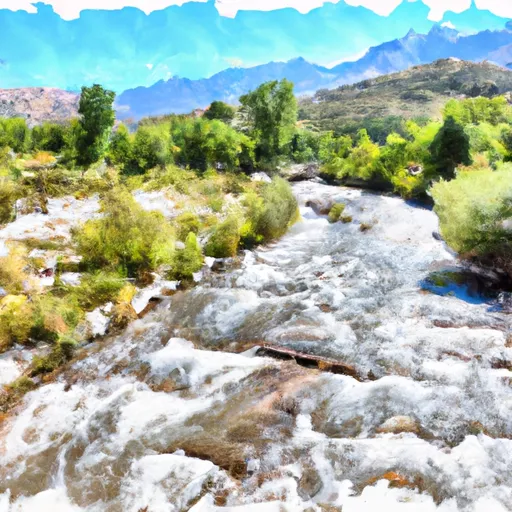 Elevation Of 6720 Feet To Nf Boundary
 Slickrock Canyon
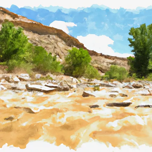 Cottonwood Canyon
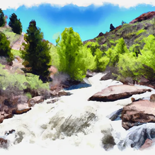 Headwaters To Nf Boundary