2026-02-12T11:00:00-07:00
* WHAT...Snow expected. Total snow accumulations of 6 to 12 inches. Locally up to 15 inches in the upper Cottonwoods and high Uintas. * WHERE...The Wasatch and western Uinta Mountains. * WHEN...Until 11 AM MST Thursday. * IMPACTS...Winter driving conditions are expected. * ADDITIONAL DETAILS...Periods of snowfall rates in excess of 1 inch an hour will occur between 5 AM and noon Wednesday and again 5 PM Wednesday through 3 AM Thursday.
Summary
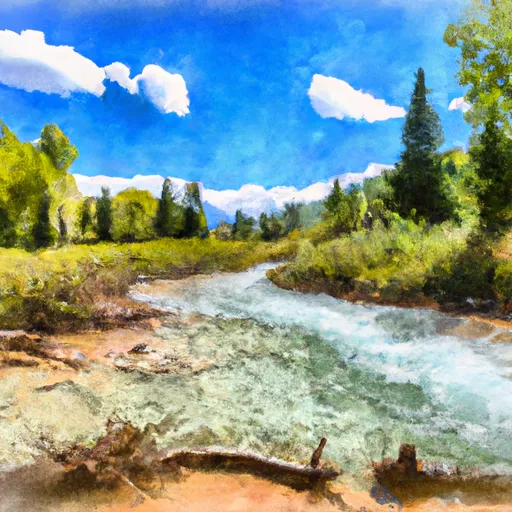
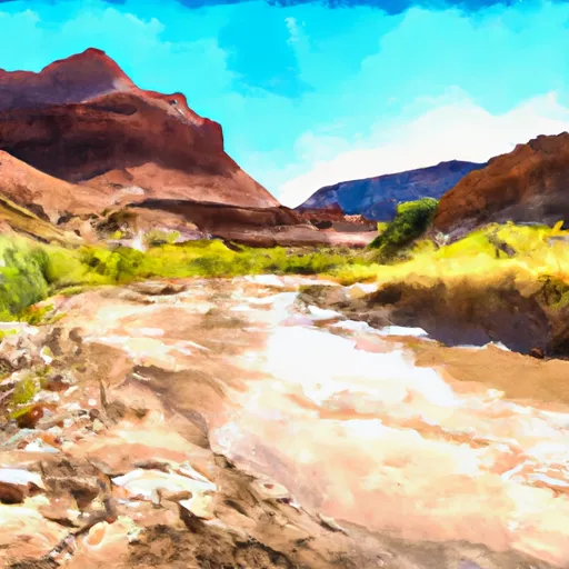
This class IV/V run consists of a 6-mile segment with challenging rapids and obstacles. The river rapids include The Notch, a narrow and technical rapid, as well as the infamous Nutcracker, which requires precise maneuvering to avoid getting pinned against the rocks. Other notable rapids include The Upper and Lower Falls.
It is important to note that this river run is only recommended for experienced paddlers due to its difficulty level. Additionally, it is essential to follow specific regulations in the area, such as obtaining the necessary permits and being aware of any seasonal restrictions. Visitors should also be mindful of the Leave No Trace principles to preserve the natural beauty of the area.
Overall, the Alsop Lake and Norice Lake to Near Trailhead river run offers a thrilling whitewater experience for experienced paddlers, with challenging rapids and stunning scenery. Paddlers should always check the current streamflow and weather conditions before embarking on this adventure.
°F
°F
mph
Wind
%
Humidity
15-Day Weather Outlook
River Run Details
| Last Updated | 2025-12-30 |
| River Levels | 1140 cfs (6.62 ft) |
| Percent of Normal | 215% |
| Status | |
| Class Level | iv/v |
| Elevation | ft |
| Streamflow Discharge | cfs |
| Gauge Height | ft |
| Reporting Streamgage | USGS 10011500 |
5-Day Hourly Forecast Detail
Nearby Streamflow Levels
Area Campgrounds
| Location | Reservations | Toilets |
|---|---|---|
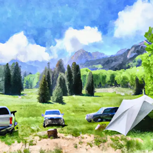 Christmas Meadows
|
||
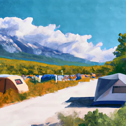 Christmas Meadows Campground
|
||
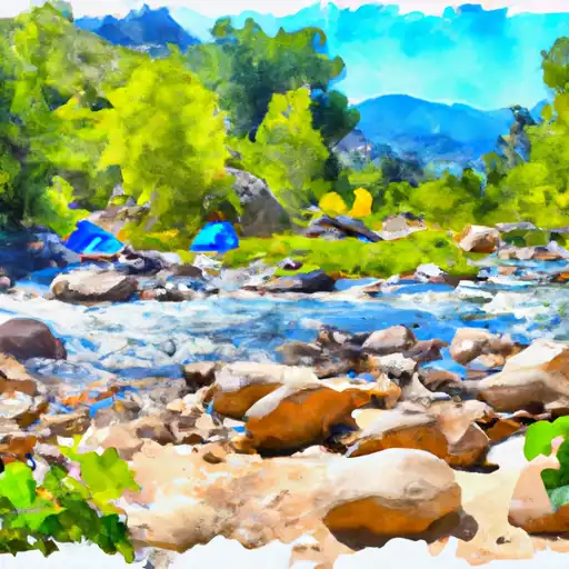 East Fork Bear River
|
||
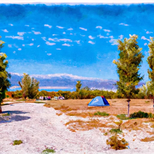 Butterfly Lake Campground
|
||
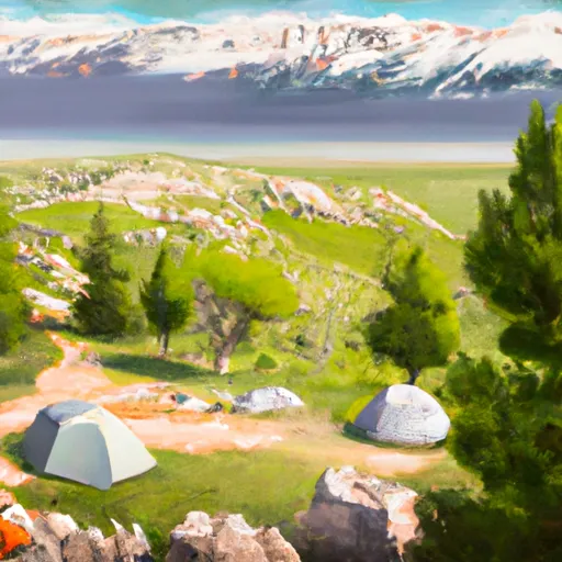 Butterfly Lake
|
||
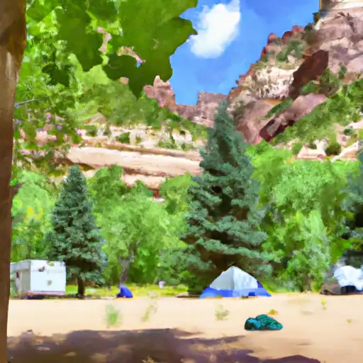 Hayden Fork
|


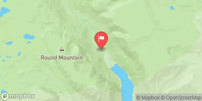
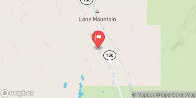
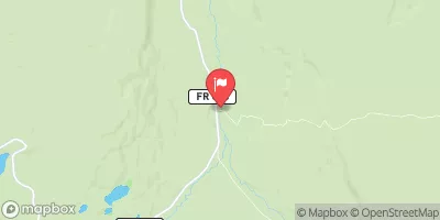
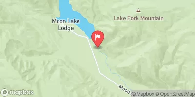
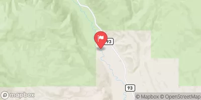
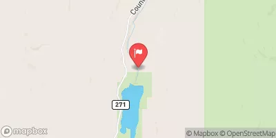
 Alsop Lake And Norice Lake To Near Trailhead
 Source To Mouth
 Source To Wilderness Boundary
 Source To Confluence With East Fork Bear
 Wilderness Boundary To Mouth
 Baker Lake
 Kermsuh Lake
 Carolyn Lake
 Bedground Lake
 Butterfly Lake