Summary
The ideal streamflow range for this run is between 400-1500 cfs, which typically occurs in the spring and early summer months. The segment mileage is approximately 17 miles and is rated as a Class III-IV run.
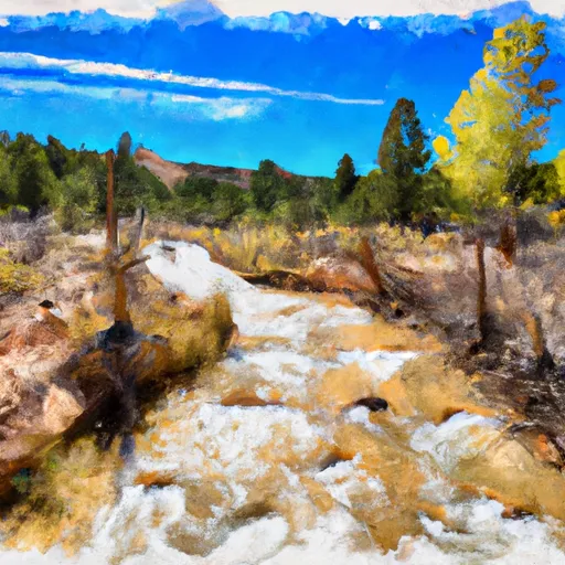
The run starts at the headwaters of the river and flows through a scenic canyon with stunning views of red rock formations and lush vegetation. The first few miles are relatively calm, with occasional Class II rapids, before picking up in intensity as the river enters the narrow canyon. The most notable rapids on this stretch include "Satan's Gut," "The Maze," and "Hurricane Falls," which are all Class IV rapids.
It is important to note that the Whitewater River Run Headwaters to Dixie National Forest Boundary is located on public land and is subject to specific regulations. Visitors are required to have a permit for river use, which can be obtained through the Bureau of Land Management. Additionally, the use of motorized watercraft is prohibited on this stretch of the river to preserve the natural environment.
°F
°F
mph
Wind
%
Humidity
15-Day Weather Outlook
River Run Details
| Last Updated | 2026-02-07 |
| River Levels | 46 cfs (10.41 ft) |
| Percent of Normal | 88% |
| Status | |
| Class Level | iii-iv |
| Elevation | ft |
| Streamflow Discharge | cfs |
| Gauge Height | ft |
| Reporting Streamgage | USGS 09404450 |
5-Day Hourly Forecast Detail
Nearby Streamflow Levels
Area Campgrounds
| Location | Reservations | Toilets |
|---|---|---|
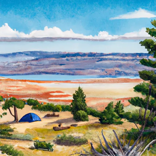 Navajo Lake
|
||
 Navajo Lake Campground
|
||
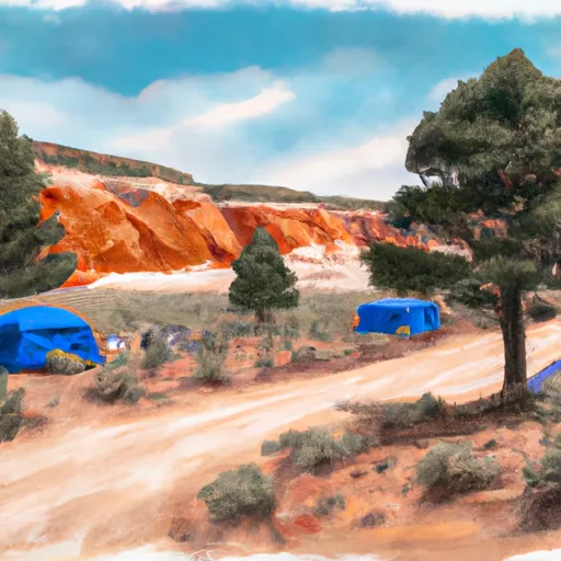 Te-Ah Campground
|
||
 Te - Ah
|
||
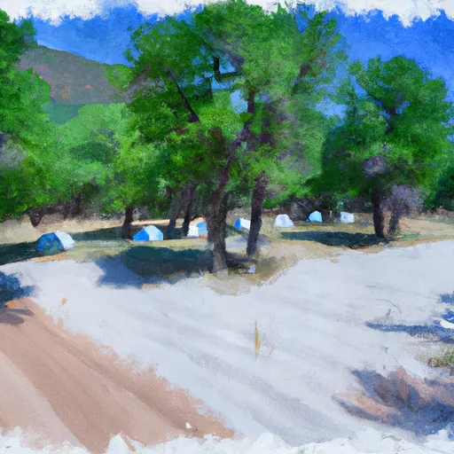 Duck Creek Campground
|
||
 Duck Creek
|


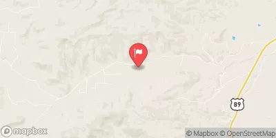


 Headwaters To Dixie National Forest Boundary
 Deep Creek
 Zion Narrows
 Wilderness Ashdown Gorge
 Deep Creek North Wilderness
 Deep Creek Wilderness