Zion Narrows
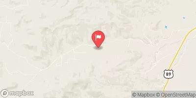
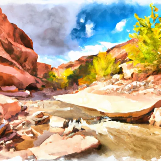
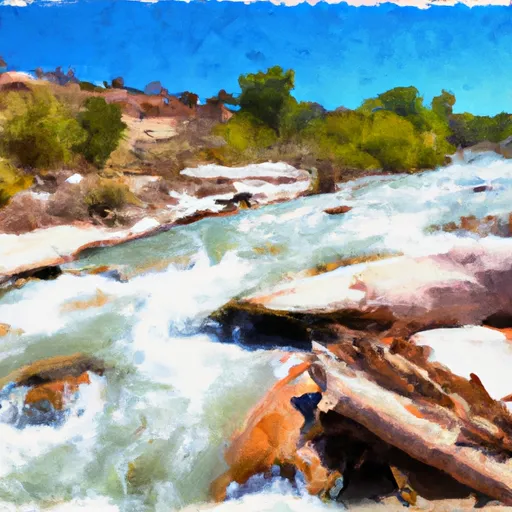
Zion Narrows is considered a class III run, however, given it's committment, portaging and potential for wood, class IV boating skills are recommended. Incredible class III (remote) run that has a short window when the road in is driveable and the river is flowing. Bony (20 cfs?) 5-6 mile hike/drag/float through cow pastures that slowly drops into the Virgin Narrows. Deep in the gorge and about 5 hours later you hear the rumble of a clean 18'-20' fall. Easy to portage river left or scout and plug it. Shortly after there is one more good rapid amidst the mank and then the steam picks up considerably with the confluence of Deep creek. The next 2 hours the river changes its pace significantly with boulder garden rapids. Be on your toes for log jams, portages are likely. You know you are close to the take out when you see the heads of photographers suddenly disrupt the incredible scenery. Wave to the hoards as you pass and run the last rapid of the Narrows somewhere in the III /IV- range...great 5' boof river center to left. The final mile follows the footpath to the Temple of Sinawava bus stop. Take out here, leave your gear, and hop on the bus to go get your shuttle rig. The park bus will shuttle you for free back to the visitor center. Permits are required. They are free at the backcountry desk at the visitors center in the Park.
Suggested river levels for paddling this section of the Virgin River are between a bare minimum of 400cfs and a high of 1,600cfs.
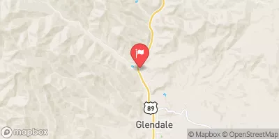
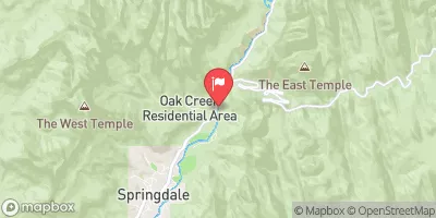
River conditions sourced from USGS 09405500, the North Fork Virgin River Near Springdale
Remember only watercraft are permitted
at Zion Narrows.
Run Stats
Status | Too Low |
Class Level | III+ |
Elevation | 3,971 ft |
Run Length | 16.0 Mi |
Gradient | 87 FPM |
Streamflow Discharge | 55.8 cfs |
Gage Height | 7.4 ft |
Air Temperature | 96° |
River | Virgin River |
Reporting Streamgage |
North Fork Virgin River Near Springdale
USGS 09405500 |
Gauge | Streamflow | Stage |
---|---|---|
Coal Creek Near Cedar City
USGS 10242000 |
58 cfs | 4.7 ft |
Beaver River At Adamsville
USGS 10237000 |
1 cfs | 2.6 ft |
Virgin River At Virgin
USGS 09406000 |
96 cfs | 7.7 ft |
Virgin River Ab La Verkin Creek Nr La Verkin
USGS 09406100 |
49 cfs | 10.7 ft |
Virgin River Near Hurricane
USGS 09408150 |
71 cfs | 7.4 ft |
Santa Clara River Near Pine Valley
USGS 09408400 |
9 cfs | 1.5 ft |
Sevier River At Hatch
USGS 10174500 |
132 cfs | 1.3 ft |
Mammoth Creek Abv West Hatch Ditch
USGS 10173450 |
91 cfs | 2.0 ft |
Virgin River Ab Quail Creek Near Hurricane
USGS 09408135 |
53 cfs | 6.7 ft |
Kanab Creek Near Kanab
USGS 09403600 |
2 cfs | 11.6 ft |
Snotel Site | Snowpack | 24hr Change |
---|
Campground | Campsites | Reservations | Toilets | Showers | Elevation |
---|---|---|---|---|---|
Coral Pink Sand Dunes State Park | None | 5,920 ft | |||
Cedar Canyon | 18 | 8,444 ft | |||
Te - Ah | 41 | 9,189 ft | |||
South - Zion National Park | 180 | 3,962 ft | |||
Navajo Lake | 15 | 9,107 ft | |||
Meadows Dispersed - Coral Pink Sand Dunes | None | 6,150 ft | |||
Duck Creek | 54 | 8,604 ft | |||
Point Supreme - Cedar Breaks National Monument | 30 | 10,280 ft |
Ski Area | Snowpack | Air Temperature | 5 Day Forecast |
---|---|---|---|
Brian Head Resort | 32" | 62° | 0" |
River Run | Streamflow | Length | Class |
---|---|---|---|
NF-Zion Park-Satan's Staircase | 59.5cfs | 8.0 Mi | IV |
Zion Narrows | 93.8cfs | 16.0 Mi | III+ |