2026-02-18T17:00:00-07:00
* WHAT...Snow expected. Total snow accumulations between 1 to 4 inches with higher totals up to 10 inches above 7000 feet. * WHERE...South Central Utah, Upper Sevier River Valleys, and Zion National Park. * WHEN...From 8 PM this evening to 5 PM MST Wednesday. * IMPACTS...Winter driving conditions are likely.
Summary
The ideal streamflow range for the Escalante River is between 100 and 500 cubic feet per second (cfs). This range typically provides enough water for an enjoyable paddle without creating excessively dangerous conditions.
The river is divided into two main segments: upper and lower. The upper segment is approximately 10 miles long and features several class II rapids, including Hurricane Wash Rapid and Moody Creek Rapid. The lower segment is longer, running for approximately 30 miles and featuring more challenging class III rapids, such as Ringtail Rapid and Bowington Rapid.
Despite its popularity, the Escalante River is subject to specific regulations. The river is within the Escalante Canyons National Monument, and visitors are required to obtain a permit before embarking on any recreational activity on the river. Additionally, visitors are required to pack out all trash and follow Leave No Trace principles to minimize the impact on the surrounding environment.
In conclusion, the Escalante River provides an excellent opportunity for intermediate-level paddlers to enjoy a scenic and challenging whitewater river run. Its ideal streamflow range, class rating, and specific regulations make it a popular destination for outdoor enthusiasts.
°F
°F
mph
Wind
%
Humidity
15-Day Weather Outlook
River Run Details
| Last Updated | 2025-06-28 |
| River Levels | 14 cfs (1.76 ft) |
| Percent of Normal | 5% |
| Status | |
| Class Level | ii-iii |
| Elevation | ft |
| Streamflow Discharge | cfs |
| Gauge Height | ft |
| Reporting Streamgage | USGS 09337500 |


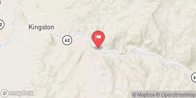
 Calf Creek
 Little Spencer Flat Dispersed - Grand Staircase Nat Mon
 Calf Creek Recreation Area
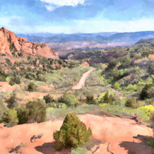 Deer Creek- Burr Trail Rd - Grand Staircase Nat Mon
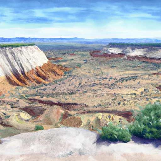 Durffey Mesa Dispersed - Burr Trail Rd - Grand Staircase Nat Mon
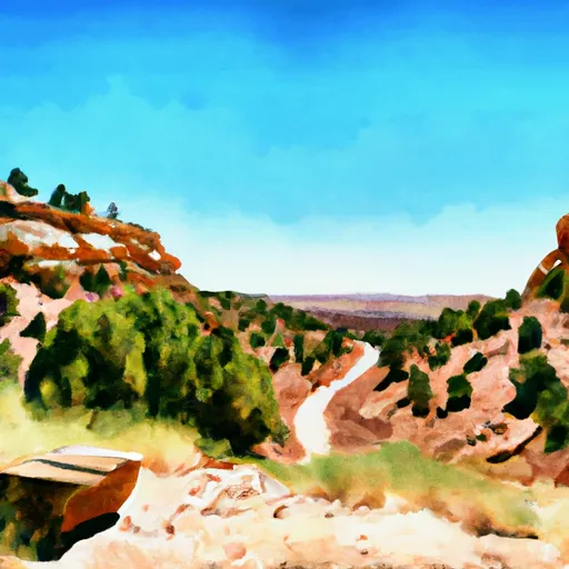 Steep Creek Bench - Burr Trail Rd - Grand Staircase Nat Mon
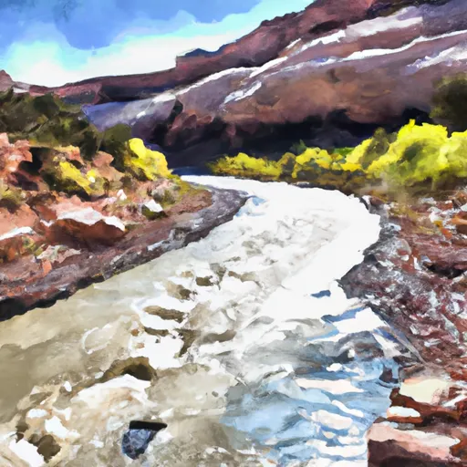 Escalante River
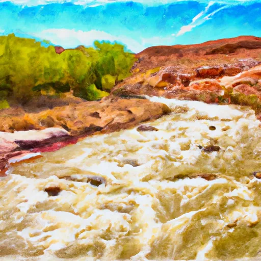 The Gulch
 Lower Horse Canyon