2026-02-18T17:00:00-07:00
* WHAT...Snow expected. Total snow accumulations between 1 to 4 inches with higher totals up to 10 inches above 7000 feet. * WHERE...South Central Utah, Upper Sevier River Valleys, and Zion National Park. * WHEN...From 8 PM this evening to 5 PM MST Wednesday. * IMPACTS...Winter driving conditions are likely. * ADDITIONAL DETAILS...Heaviest snowfall is expected between 6 AM to 11 AM, with more showery conditions continuing through the remainder of the afternoon.
Summary
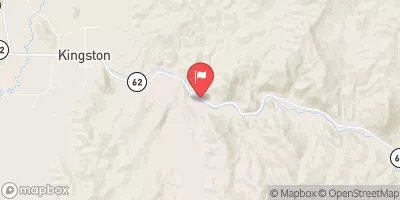
The ideal streamflow range for this run is between 100 and 500 cubic feet per second (cfs), which typically occurs in the spring and early summer. The class rating for The Gulch is a III-IV, indicating intermediate to advanced rapids that require precise maneuvering. The segment mileage of this run is approximately 6 miles.
One of the notable rapids in The Gulch is called "The Squeeze," which is a narrow and technical section that requires paddlers to navigate through a tight gap between two rocks. Another obstacle is "The Gash," which is a boulder-filled rapid that requires paddlers to carefully choose their lines.
There are specific regulations in place for The Gulch, including a permit requirement and restrictions on group size. Permits can be obtained through the Bureau of Land Management (BLM) and are limited to a certain number per day to ensure the preservation of the area. Additionally, groups are limited to 12 people per permit.
Overall, The Gulch is a challenging and exciting river run that requires skill and experience. It is important to follow the regulations in place to protect the area and ensure a safe and enjoyable experience for all.
°F
°F
mph
Wind
%
Humidity
15-Day Weather Outlook
River Run Details
| Last Updated | 2025-06-28 |
| River Levels | 14 cfs (1.76 ft) |
| Percent of Normal | 5% |
| Status | |
| Class Level | None |
| Elevation | ft |
| Streamflow Discharge | cfs |
| Gauge Height | ft |
| Reporting Streamgage | USGS 09337500 |


 Calf Creek
 Little Spencer Flat Dispersed - Grand Staircase Nat Mon
 Calf Creek Recreation Area
 Deer Creek- Burr Trail Rd - Grand Staircase Nat Mon
 Durffey Mesa Dispersed - Burr Trail Rd - Grand Staircase Nat Mon
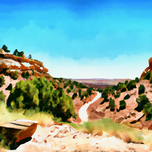 Steep Creek Bench - Burr Trail Rd - Grand Staircase Nat Mon
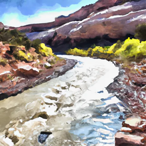 Escalante River
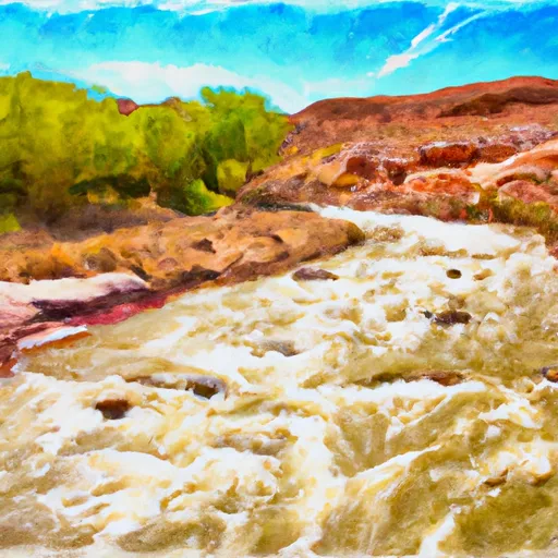 The Gulch
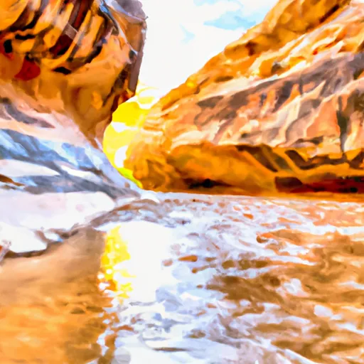 Lower Horse Canyon