2026-02-18T17:00:00-07:00
* WHAT...For the first Wind Advisory, southwest winds 20 to 30 mph with gusts up to 45 mph. For the second Wind Advisory, southwest winds 20 to 30 mph with gusts up to 45 mph expected. * WHERE...In Colorado, Central Gunnison and Uncompahgre River Basin and Grand Valley. In Utah, Arches/Grand Flat. * WHEN...For the first Wind Advisory, until 5 PM MST this afternoon. For the second Wind Advisory, from 5 AM to 5 PM MST Wednesday. * IMPACTS...Gusty winds will blow around unsecured objects. Tree limbs could be blown down and a few power outages may result.
Summary
The segment is rated as class III-IV, with continuous rapids and drops, making it suitable for intermediate to advanced paddlers. The segment covers a distance of 11.5 miles, starting from the Onion Creek put-in and ending at the Rocky Rapid take-out.
The specific river rapids and obstacles that paddlers will encounter along the way include the Big Drop Rapid, a series of steep drops with a large pool at the end, and the Funnel Falls, a narrow chute leading into a pool with large boulders on either side. Paddlers will also encounter several other rapids and rocky sections of the river that require skillful navigation.
Specific regulations to the area include the requirement for all paddlers to wear a U.S. Coast Guard approved personal flotation device (PFD) at all times while on the river. Additionally, all rafts must have a bowline at the front of the boat, and all passengers must be properly secured to the raft.
Overall, the Whitewater River Run on Colorado River Segment 2 in Utah is a challenging and exciting adventure for experienced rafters, with specific regulations in place to ensure safety and enjoyment for all participants.
°F
°F
mph
Wind
%
Humidity
15-Day Weather Outlook
River Run Details
| Last Updated | 2025-06-28 |
| River Levels | 23600 cfs (9.63 ft) |
| Percent of Normal | 37% |
| Status | |
| Class Level | iii-iv |
| Elevation | ft |
| Streamflow Discharge | cfs |
| Gauge Height | ft |
| Reporting Streamgage | USGS 09180500 |
5-Day Hourly Forecast Detail
Nearby Streamflow Levels
Area Campgrounds
| Location | Reservations | Toilets |
|---|---|---|
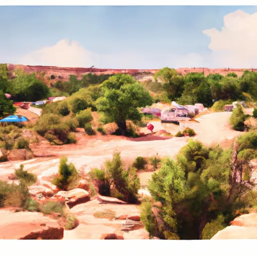 Dewey Bridge Campground
|
||
 Dewey Bridge
|
||
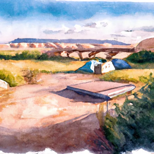 Dewey Bridge Recreation Site
|


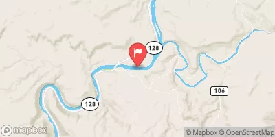
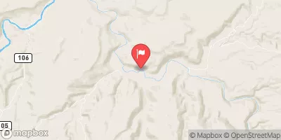
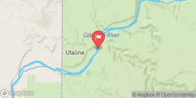
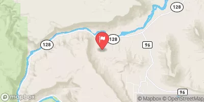
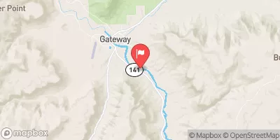
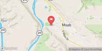
 Boat Launch Road Grand County
 Cisco Takeout
 Westwater Ranger Station
 Dewey Bridge Recreation Site
 Colorado River Segment 2
 Cisco to Hittle Bottom
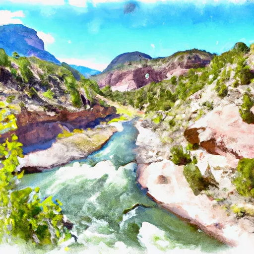 Star Canyon, Colo. River Segment 2
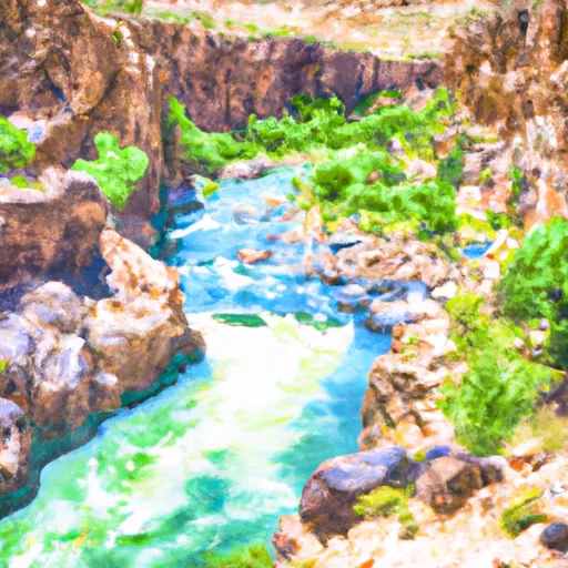 Marble Canyon, Colo. River Segment 2
 Little Dolores, Colo. River Segment 2
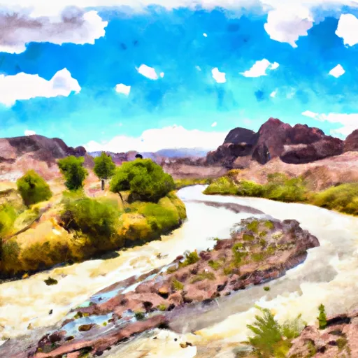 Colorado River Segment 3A