2026-02-18T17:00:00-07:00
* WHAT...Snow expected. Total snow accumulations between 1 to 4 inches with higher totals up to 10 inches above 7000 feet. * WHERE...South Central Utah, Upper Sevier River Valleys, and Zion National Park. * WHEN...From 8 PM this evening to 5 PM MST Wednesday. * IMPACTS...Winter driving conditions are likely.
Summary
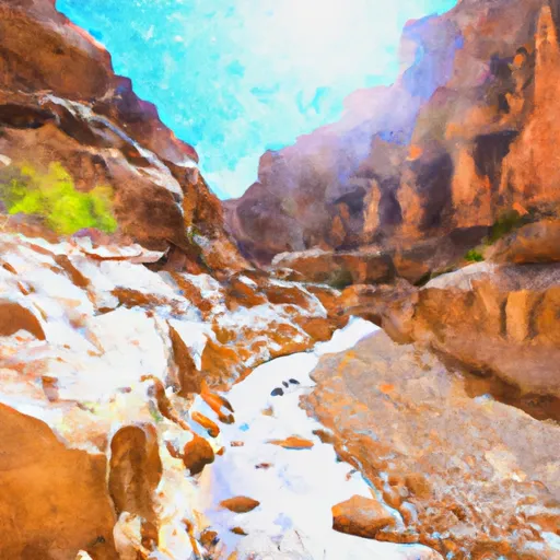
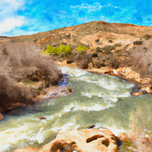
The ideal streamflow range for this section is between 50 and 100 cubic feet per second (cfs). The class rating for this section is Class III-IV, making it suitable for intermediate to advanced paddlers. The segment mileage for Bull Valley Gorge is approximately 9 miles.
The river rapids in this section are named after the challenges they pose. Some of the notable rapids in Bull Valley Gorge include S-Turn, Double Drop, Bull Run, and Bottoms Up. These rapids are characterized by steep drops, complex channels, and obstacles, such as boulders and rocks.
There are specific regulations to the area that visitors must adhere to. These regulations aim to preserve the natural environment and ensure the safety of visitors. Visitors are required to obtain a permit from the Bureau of Land Management before accessing the river. Fire restrictions are in place during dry seasons to prevent wildfires. Visitors are also required to pack out their trash and leave no trace of their visit.
In conclusion, Bull Valley Gorge is a challenging section of the Whitewater River, suitable for experienced paddlers. The ideal streamflow range for this section is between 50 and 100 cfs, with a class rating of III-IV. Visitors must adhere to specific regulations, such as obtaining a permit, during their visit.
°F
°F
mph
Wind
%
Humidity
15-Day Weather Outlook
River Run Details
| Last Updated | 2025-06-28 |
| River Levels | 745 cfs (3.05 ft) |
| Percent of Normal | 24% |
| Status | |
| Class Level | iii-iv |
| Elevation | ft |
| Streamflow Discharge | cfs |
| Gauge Height | ft |
| Reporting Streamgage | USGS 10174500 |
5-Day Hourly Forecast Detail
Nearby Streamflow Levels
Area Campgrounds
| Location | Reservations | Toilets |
|---|---|---|
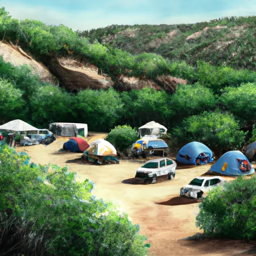 Corral Hollow Campsite
|
||
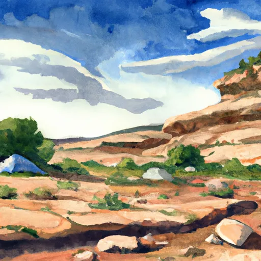 Corral Hollow
|
||
 Riggs Spring Group Site
|
||
 Riggs Spring Group
|
||
 Riggs Spring Campsite
|
||
 Riggs Spring
|


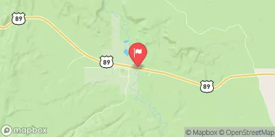
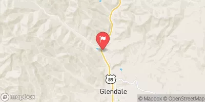
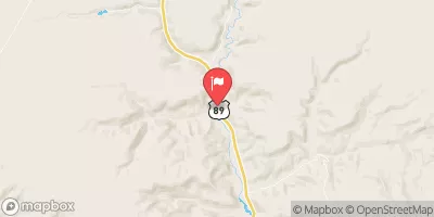

 Bull Valley Gorge
 Sheep Creek
 Paria River
 Yellow Creek