Summary
The ideal streamflow range for this section is between 300-600 cubic feet per second (cfs), which provides optimal conditions for rapids and obstacles. The class rating for Yellow Creek ranges from Class III to Class IV, with technical rapids and tight channels that require precise maneuvers.
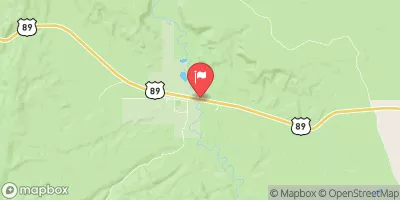
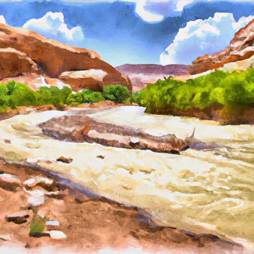
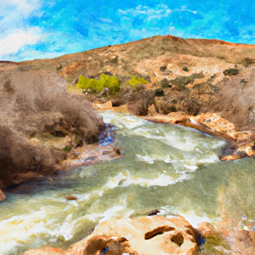
This section of the river is approximately 6 miles long, starting at the Yellow Creek Campground and ending at the confluence with the Green River. The river flows through scenic sandstone canyons and offers challenging rapids such as The Squeeze, The Notch, and The Maze.
To protect the natural environment and ensure visitor safety, there are specific regulations in place for the Yellow Creek section. All visitors must obtain a permit from the Bureau of Land Management (BLM) and follow Leave No Trace principles. Additionally, camping is only allowed in designated areas, and fires are strictly prohibited.
In conclusion, the Yellow Creek section of the Whitewater River Run offers a thrilling adventure for kayakers seeking a challenge. It is important to plan ahead, check streamflow levels, obtain necessary permits, and follow all regulations to ensure a safe and enjoyable trip.
°F
°F
mph
Wind
%
Humidity
15-Day Weather Outlook
River Run Details
| Last Updated | 2025-06-28 |
| River Levels | 745 cfs (3.05 ft) |
| Percent of Normal | 24% |
| Status | |
| Class Level | iii-iv |
| Elevation | ft |
| Streamflow Discharge | cfs |
| Gauge Height | ft |
| Reporting Streamgage | USGS 10174500 |
5-Day Hourly Forecast Detail
Nearby Streamflow Levels
Area Campgrounds
| Location | Reservations | Toilets |
|---|---|---|
 Rt Fk Yellow Creek
|
||
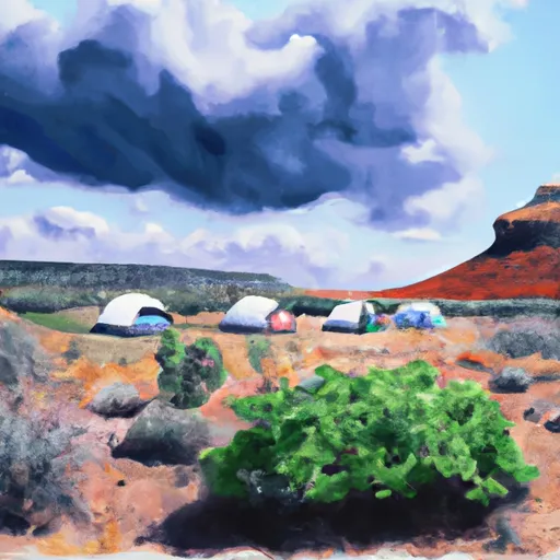 Yellow Creek Group
|
||
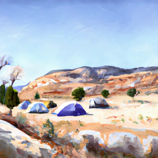 Yellow Creek Group Site Campsite
|
||
 Right Fork Yellow Creek Camp Site
|
||
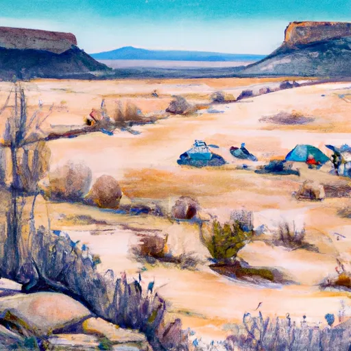 Yellow Creek Campsite
|
||
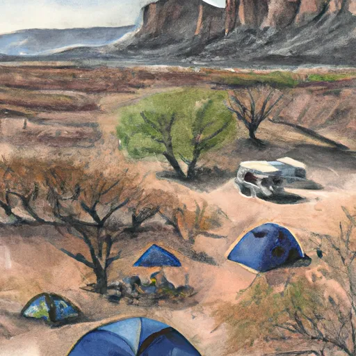 Yellow Creek
|


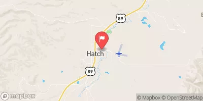
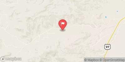
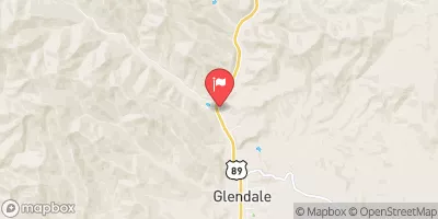

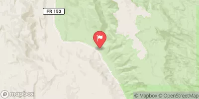
 Yellow Creek
 Sheep Creek, Nps
 Bull Valley Gorge
 Paria River
 Sheep Creek