2026-02-18T17:00:00-07:00
* WHAT...For the first Wind Advisory, southwest winds 20 to 30 mph with gusts up to 45 mph. For the second Wind Advisory, southwest winds 20 to 30 mph with gusts up to 45 mph expected. * WHERE...In Colorado, Central Gunnison and Uncompahgre River Basin and Grand Valley. In Utah, Arches/Grand Flat. * WHEN...For the first Wind Advisory, until 5 PM MST this afternoon. For the second Wind Advisory, from 5 AM to 5 PM MST Wednesday. * IMPACTS...Gusty winds will blow around unsecured objects. Tree limbs could be blown down and a few power outages may result.
Summary
The ideal streamflow range for this river is 200-700 cubic feet per second (cfs), with the best time to run the river being in the spring or early summer when snow melt provides the highest water levels. This class II-III river run has a total segment mileage of 8.5 miles, with the rapids and obstacles within the river varying in difficulty throughout the run.
The first 2.5 miles of the river are relatively mild with the class II rapids, while the remaining 6 miles of the river are more intense with a mix of class II-III rapids. Some of the specific rapids and obstacles on this river include Boulder Drop, Onion Falls, and Rocky Rapid. It is important to note that the difficulty of these rapids can vary depending on the water level.
To ensure safety while running Onion Creek, specific regulations have been put in place by the Bureau of Land Management. These regulations include the requirement of wearing personal flotation devices (PFDs) at all times while on the river, adhering to a strict leave-no-trace policy, and not camping or building any structures within 300 feet of the river. It is also important to note that the river can be closed during periods of high water or other hazardous conditions.
Overall, Onion Creek provides an exciting and challenging whitewater river run for experienced paddlers. It is important to check current water levels and regulations before attempting this run, and to always prioritize safety while on the river.
°F
°F
mph
Wind
%
Humidity
15-Day Weather Outlook
River Run Details
| Last Updated | 2025-06-28 |
| River Levels | 2820 cfs (10.85 ft) |
| Percent of Normal | 37% |
| Status | |
| Class Level | ii-iii |
| Elevation | ft |
| Streamflow Discharge | cfs |
| Gauge Height | ft |
| Reporting Streamgage | USGS 09180000 |



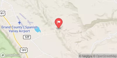
 Fisher Towers Recreation Site
 Fisher Towers Campground
 Fisher Towers
 Upper Onion Creek Camping Area
 Bull Draw, Manti La Sal NF Road Campsite
 Hittle Bottom Recreation Site
 UT 128 Moab
 Hittle Bottom Recreation Site
 Lower Onion Creek Boat Ramp
 Dewey Bridge Recreation Site
 Onion Creek
 Fisher Creek
 Unknown