Summary
The ideal streamflow range for this river run is between 800 and 3,000 cfs. This range provides enough water for exciting rapids and obstacles without making the run too dangerous.
The Lower Green River is rated as a Class II-III, which means it is suitable for intermediate paddlers. The segment mileage for this run is approximately 9 miles, starting at the Flaming Gorge Dam and ending at Little Hole.
The Lower Green River features several notable rapids and obstacles, including SOB, Satan's Gut, and Little Niagara. SOB is a Class III rapid with a steep drop and a tight turn. Satan's Gut is a narrow channel with several rocks and ledges that can create turbulent water. Little Niagara is a Class III+ drop with a large boulder in the middle of the rapid.
There are specific regulations in place for the Lower Green River. Paddlers must obtain a permit from the Flaming Gorge National Recreation Area before entering the river. Additionally, all paddlers must wear a personal flotation device and carry a whistle. Camping is only allowed in designated areas along the river.
Overall, the Lower Green River offers a thrilling whitewater experience for intermediate paddlers. It is important to adhere to the regulations and ensure that all safety measures are taken before embarking on this adventure.
°F
°F
mph
Wind
%
Humidity
15-Day Weather Outlook
River Run Details
| Last Updated | 2025-06-28 |
| River Levels | 1550 cfs (6.53 ft) |
| Percent of Normal | 20% |
| Status | |
| Class Level | ii-iii |
| Elevation | ft |
| Streamflow Discharge | cfs |
| Gauge Height | ft |
| Reporting Streamgage | USGS 09295100 |
5-Day Hourly Forecast Detail
Nearby Streamflow Levels
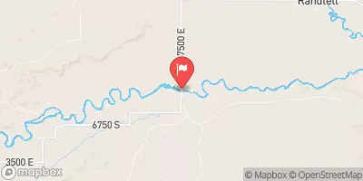 Duchesne R Ab Uinta R Near Randlett
|
63cfs |
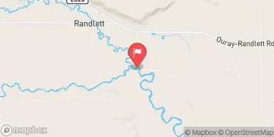 Duchesne River Near Randlett
|
85cfs |
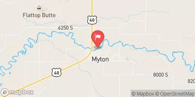 Duchesne River At Myton
|
44cfs |
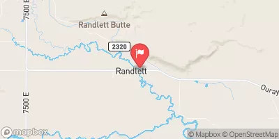 Uinta River At Randlett
|
17cfs |
 White River Near Watson
|
164cfs |
 Strawberry River Near Duchesne
|
74cfs |


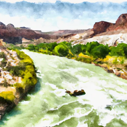 Lower Green River
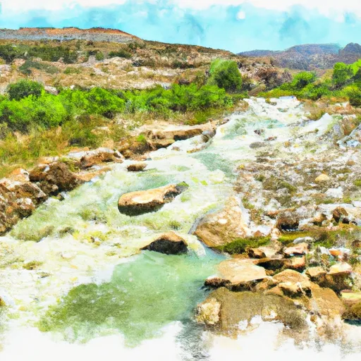 Green River
 Desolation Canyon
 Nine Mile Creek