Quitchupah Creek River Run
Community Reviews
Been here? Share the conditions.
Reviews, ratings & photos are added in the free Snoflo iOS app — rate a spot, tag the conditions, and your visit is verified by location. Add or manage your reviews from the app.
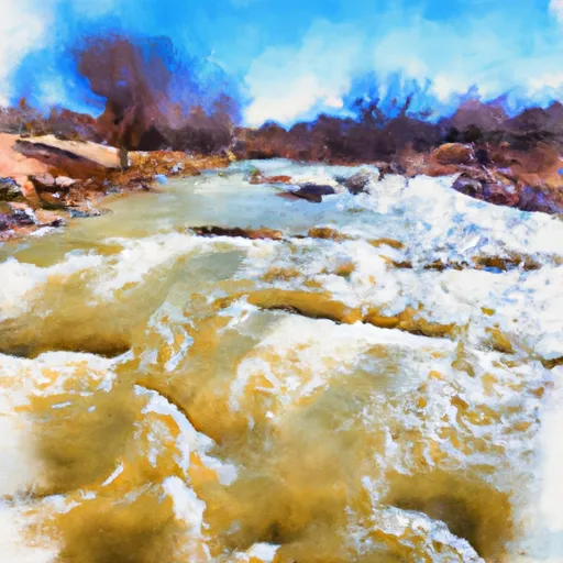
Quitchupah Creek
The river stretches for approximately 20 miles, offering a challenging and adventurous journey for rafters. The specific rapids and obstacles on the river include "The Notch," "S-Turn," "The Wall," and "Devil's Toenail," among others. These rapids provide an exciting and unpredictable ride for rafters, which is sure to test their skills.
There are specific regulations to the area that must be followed by all visitors. The Quitchupah Creek lies within the Manti-La Sal National Forest, which requires all visitors to obtain a permit before entering the area. Visitors must also abide by all rules and regulations set forth by the Forest Service, including fire restrictions, camping regulations, and pack-in, pack-out policies.
In conclusion, the Quitchupah Creek is an excellent destination for whitewater rafting enthusiasts, offering an exhilarating and challenging experience for intermediate to advanced level rafters. With its ideal streamflow range, class rating, segment mileage, specific river rapids and obstacles, and regulations, the Whitewater River run is a must-visit for anyone seeking an unforgettable rafting adventure in Utah.
Plan your run down to the hour
Same weather feed Snoflo's iOS app uses -- updated continuously from NOAA / yr.no. Watch the precipitation column on the meteogram; rain ahead of a run typically lifts flows 12-48 hours later depending on the basin.
Next 5 days, hour by hour
Temperature line with weather symbols on top, snow + rain accumulation as columns, humidity as a dotted line.
5-day forecast table
Every 3 hours, broken out across temperature, snow, rain, humidity, and wind. Each cell is colour-coded relative to the column min/max.
| Time | Condition | Temp (°F) | Snow (in) | Rain (in) | Humidity (%) | Wind (mps) | Wind dir |
|---|---|---|---|---|---|---|---|
| Loading detailed forecast… | |||||||
15-day temperature & precipitation
Daily temperatures, snow, and rain projected over the next two weeks -- the upstream story that drives next week's flows.
Regional streamflow levels
USGS streamgauges around Quitchupah Creek -- useful for spotting upstream pulses and gauging which tributary is contributing what.
| Streamgauge | Discharge | View |
|---|---|---|
| Muddy Creek Near Emery | 11 cfs | → |
| Salina Creek Near Emery | 3 cfs | → |
| Ferron Creek (Upper Station) Near Ferron | 14 cfs | → |
| Ferron Cr Bl Millsite Res & Divs Nr Ferron | · | → |
| Seven Mile Creek Near Fish Lake | 6 cfs | → |
| Manti Creek Below Dugway Creek | 6 cfs | → |
Plan a longer trip
The closest boat launches, other paddle runs, and campgrounds so a day on the water can grow into a full weekend.
Campgrounds
- Millsite State Park
- Willow Lake Fishing/Camping Area
- Anthony Flat Trailhead
- Willow Lake Campground
- Brown's Hole Trailhead
- Niotche Creek Trailhead
Whitewater safety
- Check the flow before you run
- Use the linked-gauge card and Regional Flow panel above. Class ratings change with flow -- a Class III at low water can become Class IV+ at high water.
- Know your skill ceiling
- Pick runs comfortably below your ceiling. Cold-water and big-water runs raise the consequences of any mistake.
- Wear the right gear
- Helmet, PFD, drysuit / wetsuit when water is below 60°F. Throw bag, knife, and whistle on your person, not in the boat.
- Scout, set safety, and run with a team
- Scout new rapids on foot, set safety with throw bags above the consequence pool, and run with at least one other competent paddler.
- Respect the river
- Strainers, undercuts, low-head dams, and wood can kill at any class rating. When in doubt, portage.
Set push alerts in the Snoflo app
Save Quitchupah Creek as a favorite, set a discharge threshold (e.g. "alert me when flow hits 600 cfs"), and the iOS app pushes the moment the linked gauge crosses.
About Quitchupah Creek
What's the optimal flow for Quitchupah Creek?
The optimal flow depends on the section and the craft. Check the Run Details panel for the linked gauge and current status.
How fresh is the cfs reading on this page?
The linked USGS streamgauge reports continuously (every 15 minutes); Snoflo refreshes throughout the day. Hover the streamflow sparkline to read individual datapoints.
What's the whitewater class?
See the Run Details panel for the class rating Snoflo tracks for this run. Class ratings change with flow -- a Class III at low water can become Class IV in high water.
Where do I put in / take out?
Tap Directions in the hero above to open driving directions to the put-in. For shuttle planning, check the Nearby Boat Launches panel and the river run operator's site.
Can I get alerts when flows hit the optimal range?
Yes -- alerts are managed in the Snoflo iOS app. Favorite this run, set a discharge threshold, and you'll get a push the moment the gauge crosses.
Other runs near here
Snoflo-tracked paddle runs within driving distance of Quitchupah Creek.