
Summary
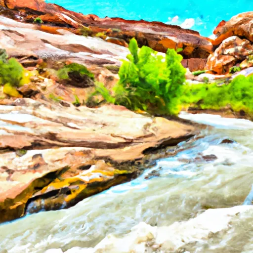
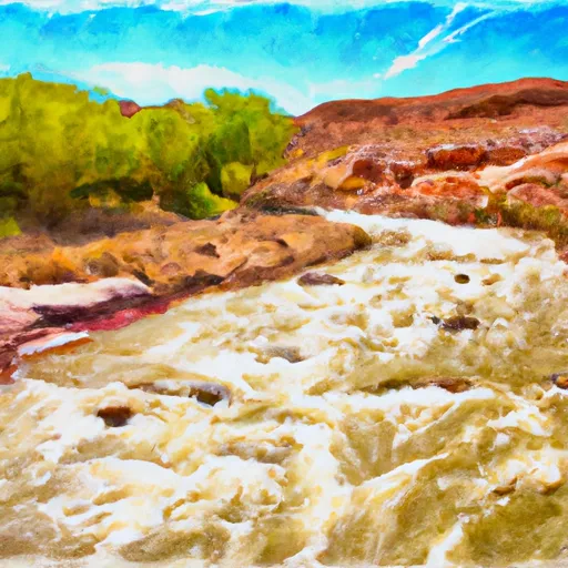
The ideal streamflow range for the run is between 100 and 500 cubic feet per second (cfs) with the best time to go being in the spring or early summer when snowmelt increases the water flow. The river has a class rating of III to IV, with some class V rapids during high water.
The run covers a total of approximately 84 miles, with the most popular segment being the 35-mile stretch from Escalante to Coyote Gulch. The run features a number of technical rapids and obstacles, including Bowington Falls, Moody Creek Falls, and the Sand Slides. These rapids can be challenging and require advanced paddling skills.
There are specific regulations to the area, including a permit requirement for overnight trips and a limit on the number of permits issued per day. The river is also designated as a Wilderness Area, which means that visitors are required to adhere to strict Leave No Trace principles.
Overall, the Escalante River run is a challenging and rewarding experience for experienced paddlers. It offers stunning scenery and a true wilderness experience, but requires careful planning and preparation.
River Run Details
| Last Updated | 2025-06-28 |
| River Levels | 14 cfs (1.76 ft) |
| Percent of Normal | 5% |
| Status | |
| Class Level | v |
| Elevation | ft |
| Streamflow Discharge | cfs |
| Gauge Height | ft |
| Reporting Streamgage | USGS 09337500 |

 Calf Creek
 Calf Creek Recreation Area
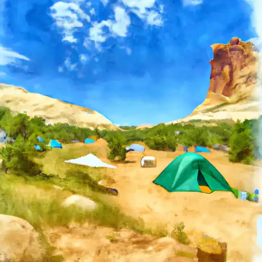
 Little Spencer Flat Dispersed - Grand Staircase Nat Mon
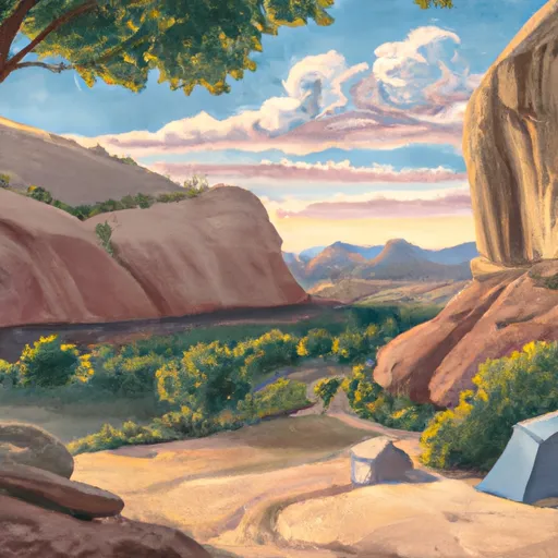
 Durffey Mesa Dispersed - Burr Trail Rd - Grand Staircase Nat Mon
 Deer Creek- Burr Trail Rd - Grand Staircase Nat Mon
 Steep Creek Bench - Burr Trail Rd - Grand Staircase Nat Mon
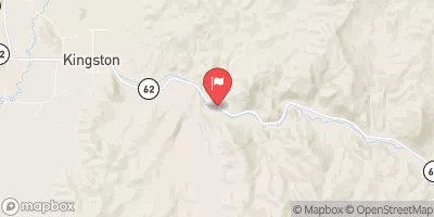
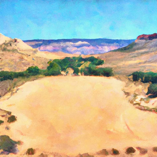
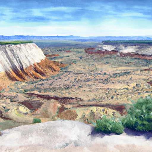
 Escalante River
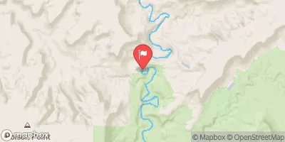
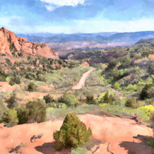
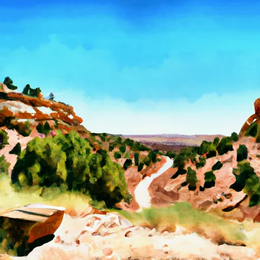
 The Gulch