Summary
The ideal streamflow range for this section of the Colorado River ranges between 1,000 and 6,000 cubic feet per second (cfs). The class rating for Slickrock Canyon varies depending on the water level, but it is generally considered to be a class III-IV run.
The segment mileage for Slickrock Canyon is approximately 10 miles, starting at the Potash Boat Ramp and ending at the takeout point at the Hittle Bottom Boat Ramp. Along this stretch of the river, paddlers will encounter several notable rapids and obstacles, including Rocky Rapid, Big Drop 1 and 2, and the infamous Satan's Gut.
Paddlers should be aware that there are specific regulations in place for this area. Permits are required for all river trips, and there is a limit on the number of permits issued each day. Visitors are also required to pack out all trash and to follow Leave No Trace principles while on the river.
Overall, Slickrock Canyon offers a thrilling whitewater adventure for experienced paddlers. However, it is important to assess the current water level and to take all necessary safety precautions before embarking on this challenging run.
°F
°F
mph
Wind
%
Humidity
15-Day Weather Outlook
River Run Details
| Last Updated | 2025-06-28 |
| River Levels | 14 cfs (1.76 ft) |
| Percent of Normal | 5% |
| Status | |
| Class Level | iii-iv |
| Elevation | ft |
| Streamflow Discharge | cfs |
| Gauge Height | ft |
| Reporting Streamgage | USGS 09337500 |


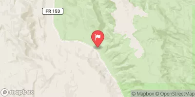

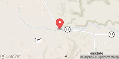
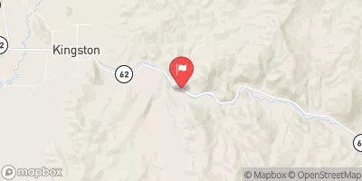
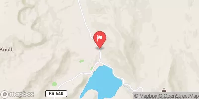
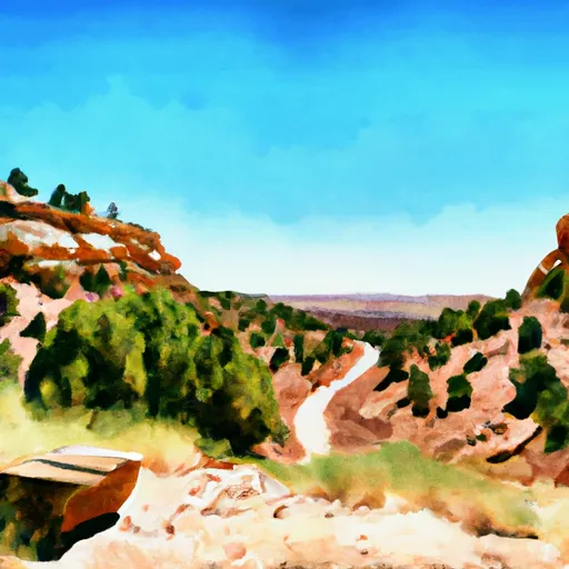 Steep Creek Bench - Burr Trail Rd - Grand Staircase Nat Mon
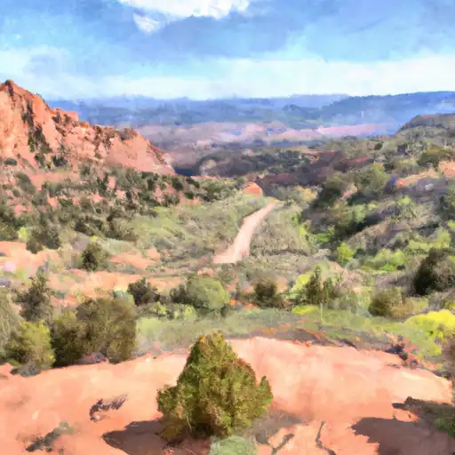 Deer Creek- Burr Trail Rd - Grand Staircase Nat Mon
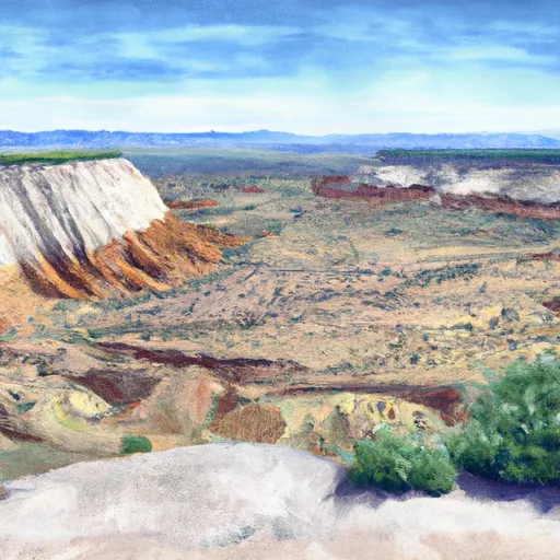 Durffey Mesa Dispersed - Burr Trail Rd - Grand Staircase Nat Mon
 Horse Canyon - Grand Staircase Nat Mon
 UPPER PLEASANT CREEK CAMPGROUND
 Pleasant Creek
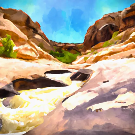 Slickrock Canyon
 Cottonwood Canyon
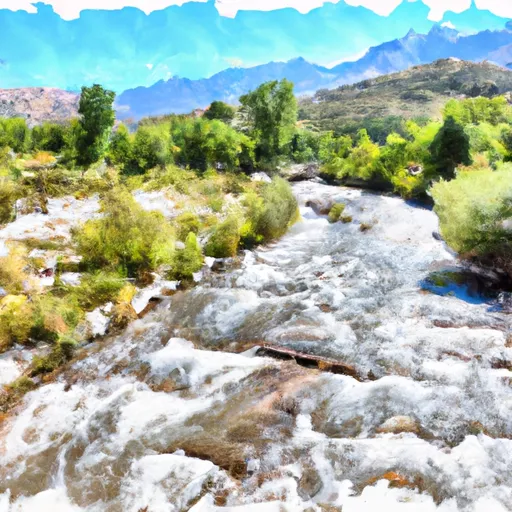 Elevation Of 6720 Feet To Nf Boundary
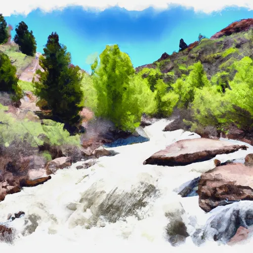 Headwaters To Nf Boundary