Summary
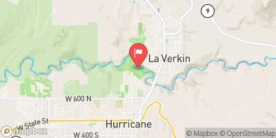
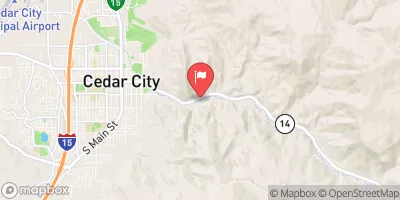
The ideal streamflow range for this segment is between 400-800 cfs, providing class III-IV rapids. The segment is 5.5 miles in length and features notable rapids such as "The Narrows" and "The Gauntlet".
There are specific regulations in place for this area, including the requirement for all boaters to wear a personal flotation device at all times. Additionally, no glass containers are allowed on the river and all trash must be packed out.
It is important for boaters to also be aware of potential hazards such as rocks and fallen trees, as well as changes in weather conditions that may affect the streamflow. It is recommended to consult with local guides or the Bureau of Land Management for current conditions before embarking on this segment.
°F
°F
mph
Wind
%
Humidity
15-Day Weather Outlook
River Run Details
| Last Updated | 2025-06-28 |
| River Levels | 184 cfs (8.35 ft) |
| Percent of Normal | 50% |
| Status | |
| Class Level | iii-iv |
| Elevation | ft |
| Streamflow Discharge | cfs |
| Gauge Height | ft |
| Reporting Streamgage | USGS 09405500 |
5-Day Hourly Forecast Detail
Nearby Streamflow Levels
Area Campgrounds
| Location | Reservations | Toilets |
|---|---|---|
 Boulder Camp
|
||
 Ringtail
|
||
 Alcove
|
||
 West Rim 7
|
||
 West Rim 5
|
||
 Zion Mountain Ranch Campground
|


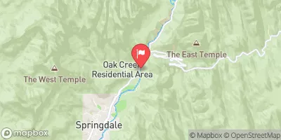
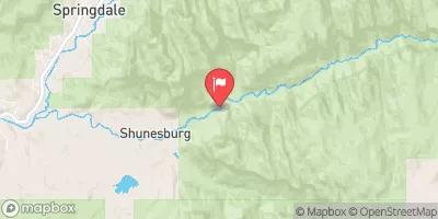
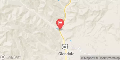
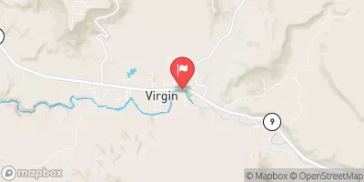
 Esplin Gulch Segment 45-45A
 Orderville Canyon Segment 44-45
 Virgin River, North Fork Segment 48-49
 Zion Narrows
 NF-Zion Park-Satan's Staircase
 Deep Creek