
Summary
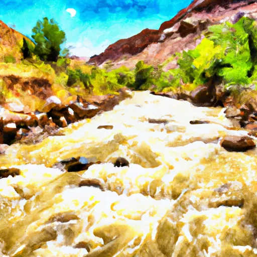
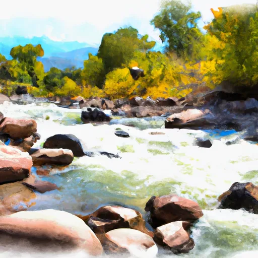
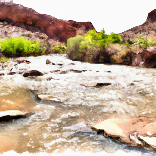
The ideal streamflow range for this stretch of the river is between 300-500 cfs, as it provides the perfect mix of rapids and obstacles for intermediate and experienced paddlers. The class rating of The Gulch is typically rated a class III, with some sections reaching a class IV rating during high water.
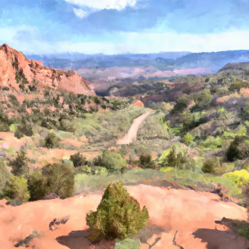
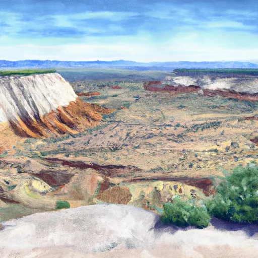
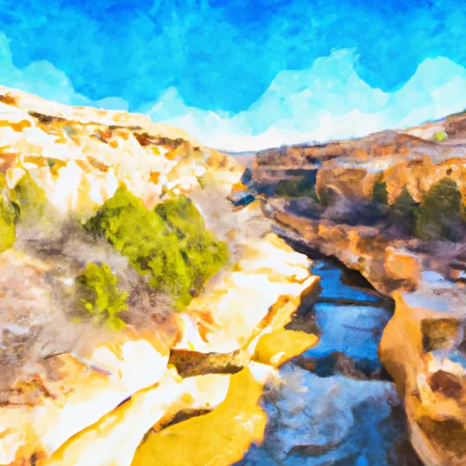
The segment mileage of The Gulch is approximately 8 miles, with a variety of challenging rapids and obstacles throughout the run. Some of the most notable rapids include "The Narrows," "The Squeeze," and "The Waterfall." These sections are known for their steep drops, turbulent waters, and technical maneuvers that require precise paddling skills.
Specific regulations for The Gulch include obtaining a permit from the Bureau of Land Management before accessing the river. Additionally, all paddlers must wear a personal flotation device and helmets while on the water. The use of alcohol and drugs is strictly prohibited, and all trash must be packed out to preserve the natural beauty of the area.
Overall, The Gulch is a challenging and exciting whitewater river run that offers a unique experience for paddlers in Utah. With its ideal streamflow range, class rating, segment mileage, and specific regulations, The Gulch is a must-visit destination for any experienced whitewater enthusiast.
River Run Details
| Last Updated | 2025-06-28 |
| River Levels | 14 cfs (1.76 ft) |
| Percent of Normal | 5% |
| Status | |
| Class Level | iii-iv |
| Elevation | ft |
| Streamflow Discharge | cfs |
| Gauge Height | ft |
| Reporting Streamgage | USGS 09337500 |

 Deer Creek- Burr Trail Rd - Grand Staircase Nat Mon
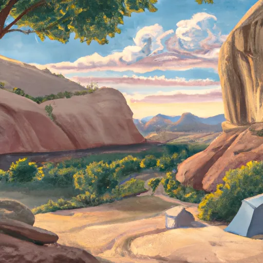
 Durffey Mesa Dispersed - Burr Trail Rd - Grand Staircase Nat Mon
 Steep Creek Bench - Burr Trail Rd - Grand Staircase Nat Mon
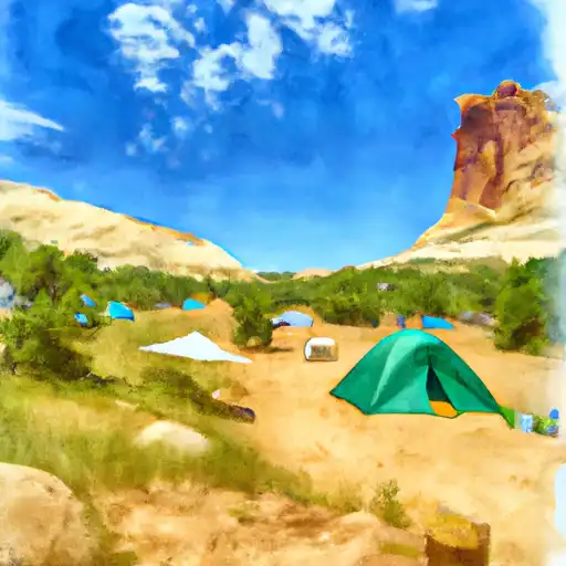
 Calf Creek Recreation Area
 Calf Creek
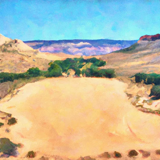 Little Spencer Flat Dispersed - Grand Staircase Nat Mon
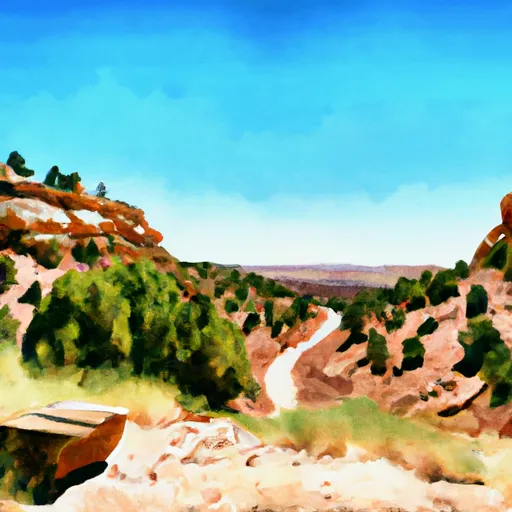
 The Gulch
 Blackwater Canyon
 Lower Boulder Creek
 Lower Deer Creek