
Summary
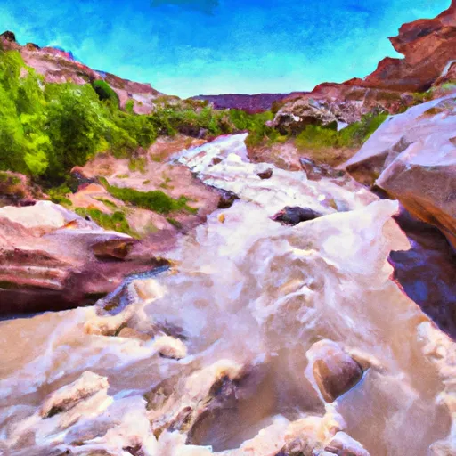
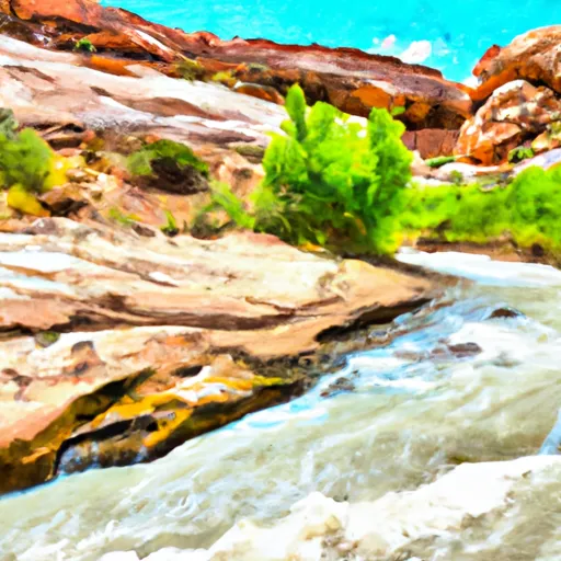
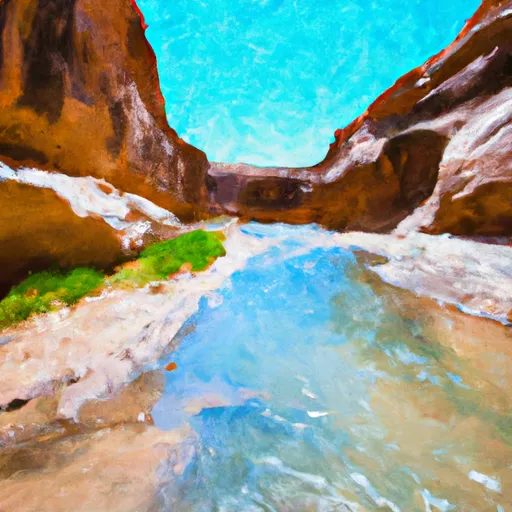
It is known for its challenging rapids and breathtaking natural scenery. The ideal streamflow range for The Gulch is between 300-500 cfs, which typically occurs in the springtime. The river is classified as Class III-IV, meaning it is suitable for experienced paddlers and requires technical skills to navigate.
The total segment mileage for The Gulch is approximately 6 miles, with the run taking approximately 2-3 hours to complete. The river rapids and obstacles include Boulder Drop, Rock Garden, and S-Turn, which offer exciting challenges for advanced whitewater enthusiasts.
Regulations in the area include the requirement for all boaters to wear appropriate safety gear, such as helmets and life jackets, and to have a permit before embarking on the run. The permits are available through the Bureau of Land Management and are limited to 100 per day to ensure the safety of all boaters on the river.
Overall, The Gulch is a thrilling and challenging whitewater river run that requires skill and experience to navigate. It offers an unforgettable adventure for those willing to take on its rapids and experience the beauty of Utah's natural landscapes.
River Run Details
| Last Updated | 2025-06-28 |
| River Levels | 14 cfs (1.76 ft) |
| Percent of Normal | 5% |
| Status | |
| Class Level | iii-iv |
| Elevation | ft |
| Streamflow Discharge | cfs |
| Gauge Height | ft |
| Reporting Streamgage | USGS 09337500 |

 Calf Creek
 Calf Creek Recreation Area
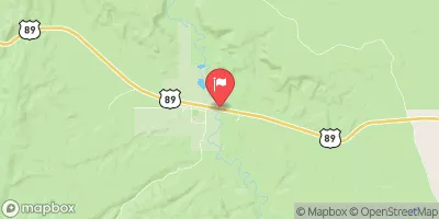
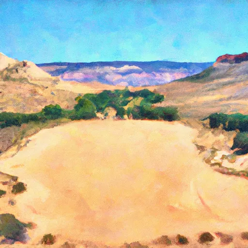
 Deer Creek- Burr Trail Rd - Grand Staircase Nat Mon
 Durffey Mesa Dispersed - Burr Trail Rd - Grand Staircase Nat Mon
 Steep Creek Bench - Burr Trail Rd - Grand Staircase Nat Mon
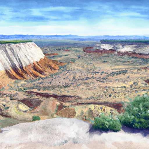
 Little Spencer Flat Dispersed - Grand Staircase Nat Mon
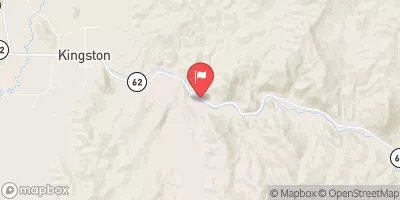
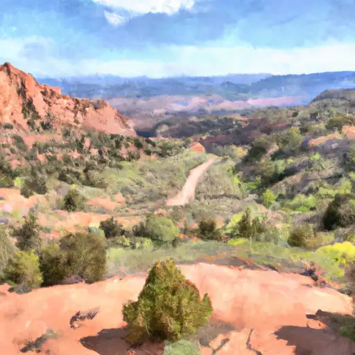
 The Gulch
 Escalante River
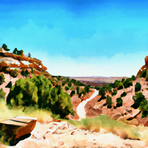
 Lower Horse Canyon