2026-02-18T17:00:00-07:00
* WHAT...Heavy snow expected. Total snow accumulations of 8 and 18 inches across much of the southern mountains with 1 to 2 feet near the Tushar and Pine Valley ranges. Locally up 3 feet near Brian Head. * WHERE...Southern Mountains. * WHEN...Until 5 PM MST Wednesday. * IMPACTS...Winter driving conditions can be expected on all mountain routes. Traction restrictions are likely.
Summary
The ideal streamflow range for this river is between 200-500 cfs. The segment of the river that is typically run by kayakers and rafters is approximately 4 miles long and is rated as a Class III-IV rapids. The river is known for its narrow and technical rapids, including the "Slot Drop" and "Reeves Creek Falls."
One of the major obstacles on this river is the tight turns and the steep gradient, requiring advanced paddling techniques and good river reading skills. It is recommended that only experienced paddlers attempt this river.
In terms of regulations, there are no specific permits required to run this river, but it is important to respect the surrounding private property and to leave no trace. Additionally, there are no designated put-in or take-out locations, so it is important to park in safe areas and to avoid blocking access to private property.
Overall, Reeve Creek is a challenging and exciting river run for experienced paddlers, with technical rapids and beautiful scenery. It is important to check the streamflow levels before attempting this river and to adhere to the regulations and guidelines to ensure a safe and enjoyable experience.
°F
°F
mph
Wind
%
Humidity
15-Day Weather Outlook
River Run Details
| Last Updated | 2025-06-28 |
| River Levels | 78 cfs (4.91 ft) |
| Percent of Normal | 46% |
| Status | |
| Class Level | iii-iv |
| Elevation | ft |
| Streamflow Discharge | cfs |
| Gauge Height | ft |
| Reporting Streamgage | USGS 10242000 |
5-Day Hourly Forecast Detail
Nearby Streamflow Levels
Area Campgrounds
| Location | Reservations | Toilets |
|---|---|---|
 Lee Pass 12
|
||
 Campsite 8
|
||
 Campsite 7
|
||
 Campsite 9
|
||
 Lee Pass 1
|
||
 Campsite 1
|



 Revee Creek
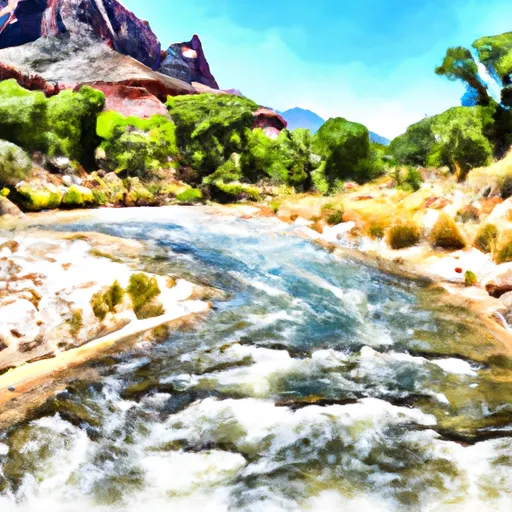 Begins One Mile Upstream From The Western Border Of Zion National Park To Western Boundary Of Zion National Park
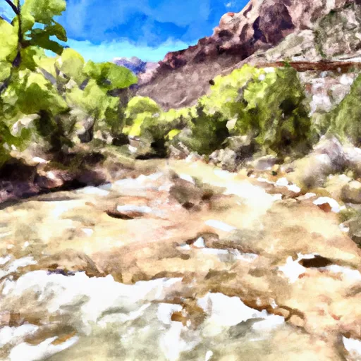 Headwaters To One Mile Upstream From The Western Boundary Of Zion National Park
 Unknown
 Ann J Gardner Canyon Park
 Red Butte Wilderness
 Iron Mission State Park