Summary
The ideal streamflow range for this river run is between 400 and 2000 cfs. The class rating for this run is a III to IV, making it a challenging and exciting run for experienced white-water rafters.
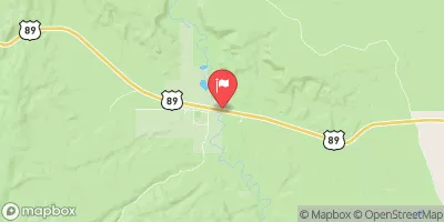
The segment mileage for this run is approximately 7 miles, taking approximately 3-4 hours to complete. This river run features several rapids and obstacles, including Sheep Creek Falls, a 10-foot waterfall that requires a portage for safety. Other challenging rapids include Widowmaker, Eye of the Needle, and Big Drop.
In terms of regulations, Sheep Creek is located within the boundaries of the Flaming Gorge National Recreation Area, which has specific regulations for river use. All boaters must obtain a permit for river use, and the number of permits issued per day is limited. Additionally, all boaters must practice Leave No Trace principles and follow specific guidelines for waste disposal and camping.
Overall, Sheep Creek is a thrilling and challenging white-water river run that requires experience and skill. Boaters should be aware of the ideal streamflow range, class rating, segment mileage, and specific rapids and obstacles, as well as the regulations for river use within the Flaming Gorge National Recreation Area.
°F
°F
mph
Wind
%
Humidity
15-Day Weather Outlook
River Run Details
| Last Updated | 2025-06-28 |
| River Levels | 745 cfs (3.05 ft) |
| Percent of Normal | 24% |
| Status | |
| Class Level | None |
| Elevation | ft |
| Streamflow Discharge | cfs |
| Gauge Height | ft |
| Reporting Streamgage | USGS 10174500 |
5-Day Hourly Forecast Detail
Nearby Streamflow Levels
Area Campgrounds
| Location | Reservations | Toilets |
|---|---|---|
 Right Fork Swamp Canyon Campsite
|
||
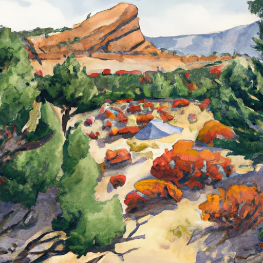 Rt Fk Swamp Canyon
|
||
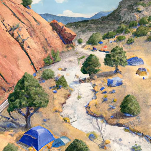 Sheep Creek Campsite
|
||
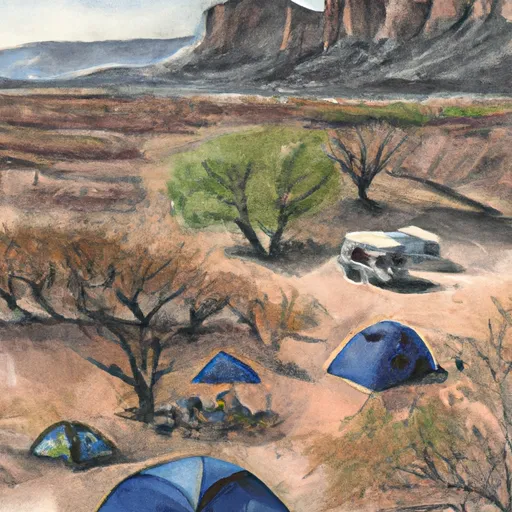 Yellow Creek
|
||
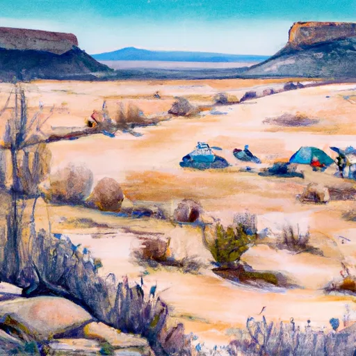 Yellow Creek Campsite
|
||
 295
295
|



 Sheep Creek, Nps
 Yellow Creek
 Bull Valley Gorge
 Paria River