Summary
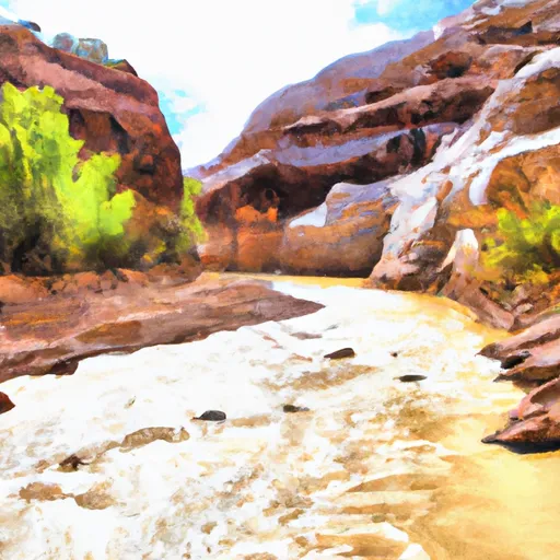
The ideal streamflow range for this segment is between 100-300 cubic feet per second (cfs) and is rated as a class II-III. The segment is approximately 7.5 miles long and is known for its stunning red rock canyons and unique geological formations.
The rapids in this segment include House Rock Rapid, Fir Tree Rapid, and Badger Creek Rapid. These rapids are known for their technical challenges and require proper navigation skills. Some of the obstacles in the area include strainers, undercut rocks, and low-hanging branches.
There are specific regulations that apply to this area. Camping is only allowed in designated sites, and campfires are not allowed. Visitors are also required to pack out all their trash and human waste. Additionally, visitors are required to have a permit to access the area.
In summary, the Paria River Segment 68-69 is a beautiful and challenging whitewater river run that requires proper navigation skills. It has an ideal streamflow range of 100-300 cfs and is rated as a class II-III. The segment is approximately 7.5 miles long and includes challenging rapids such as House Rock Rapid, Fir Tree Rapid, and Badger Creek Rapid. Visitors must comply with specific regulations, including obtaining a permit and camping in designated sites.
°F
°F
mph
Wind
%
Humidity
15-Day Weather Outlook
River Run Details
| Last Updated | 2025-06-16 |
| River Levels | 14 cfs (8.0 ft) |
| Percent of Normal | 6% |
| Status | |
| Class Level | ii-iii |
| Elevation | ft |
| Streamflow Discharge | cfs |
| Gauge Height | ft |
| Reporting Streamgage | USGS 09381800 |
5-Day Hourly Forecast Detail
Nearby Streamflow Levels
 Paria River Near Kanab
|
14cfs |
 Paria River At Lees Ferry
|
15cfs |
 Colorado River At Lees Ferry
|
10300cfs |
 Kanab Creek Near Kanab
|
7cfs |
 East Fork Virgin River Near Glendale
|
14cfs |
 Sevier River At Hatch
|
51cfs |


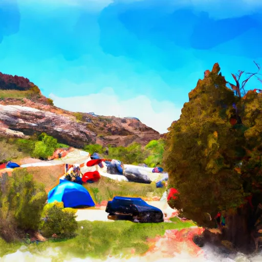 Bridger Point Camping Allowed
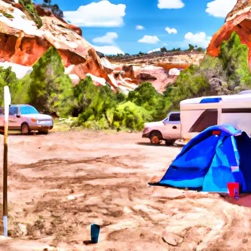 White House Trailhead - Paria Canyon - Grand Staircase Nat Mon
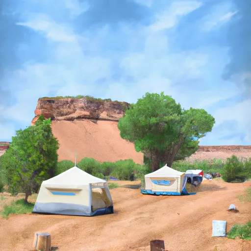 White House Campground
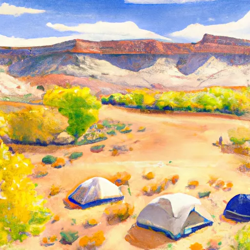 Camping Judd Hollow
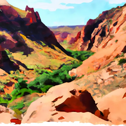 Buckskin Gulch - House Rock Valley
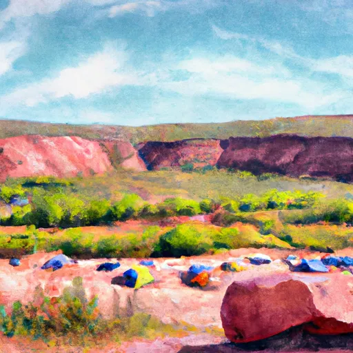 State Line - House Rock Valley
 Paria River Segment 68-69
 Lower Paria River
 Paria River