
Summary
The river is rated as Class II-III, making it suitable for intermediate paddlers. The main segment of the Escalante River is approximately 25 miles long, starting at the town of Escalante and ending at the Highway 12 bridge.
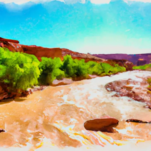
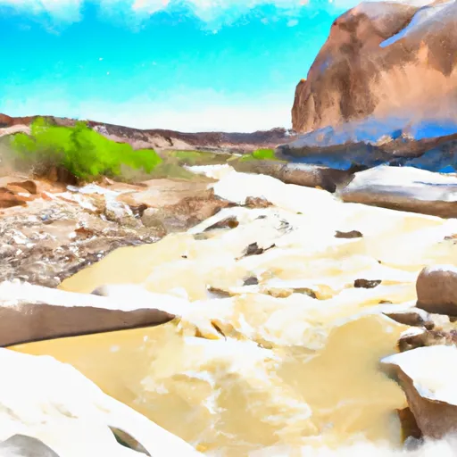
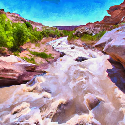
The river is known for its varied rapids and obstacles, including tight turns, boulder gardens, and small drops. One of the most notable rapids is the "Sliver," a narrow chute that requires precise maneuvering. Additionally, the river passes through stunning red rock canyons, providing breathtaking scenery for paddlers.
There are specific regulations in place for the Escalante River, including a permit system for overnight camping and limited group sizes to protect the fragile ecosystem. It is important for paddlers to follow Leave No Trace principles and respect the natural environment.
River Run Details
| Last Updated | 2025-06-28 |
| River Levels | 14 cfs (1.76 ft) |
| Percent of Normal | 5% |
| Status | |
| Class Level | ii-iii |
| Elevation | ft |
| Streamflow Discharge | cfs |
| Gauge Height | ft |
| Reporting Streamgage | USGS 09337500 |

 Calf Creek
 Calf Creek Recreation Area
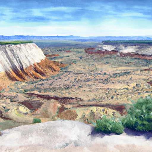
 Little Spencer Flat Dispersed - Grand Staircase Nat Mon
 Durffey Mesa Dispersed - Burr Trail Rd - Grand Staircase Nat Mon
 Deer Creek- Burr Trail Rd - Grand Staircase Nat Mon
 Steep Creek Bench - Burr Trail Rd - Grand Staircase Nat Mon
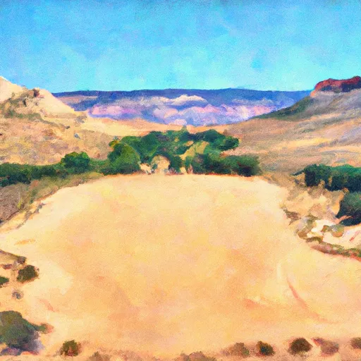
 Escalante River
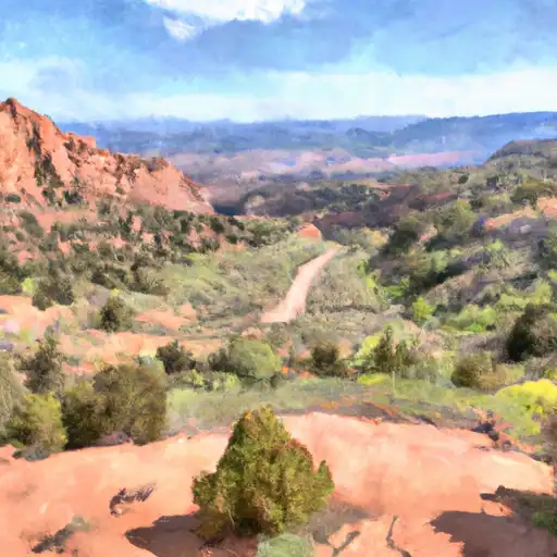
 Lower Boulder Creek
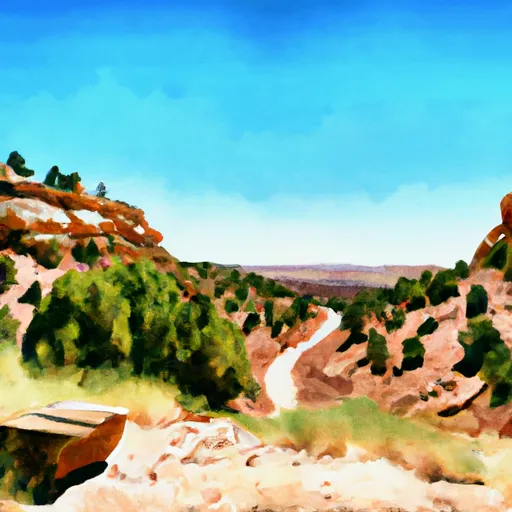
 Phipps Wash & Tribs
 The Gulch