Summary
The best time of year to float this section is from May to September with recommended CFS levels ranging from 1,000 to 10,000. The river includes obstacles such as Big Tree Rapid, Funnel Falls, and Rocky Rapid. It is important to note that this section of the river is not suitable for beginners and requires some experience in whitewater rafting.
°F
°F
mph
Wind
%
Humidity
15-Day Weather Outlook
River Run Details
| Last Updated | 2023-06-13 |
| River Levels | 4620 cfs (3.06 ft) |
| Percent of Normal | 125% |
| Optimal Range | 1500-20000 cfs |
| Status | Runnable |
| Class Level | II+ to III |
| Elevation | 4,094 ft |
| Run Length | 6.5 Mi |
| Gradient | 4 FPM |
| Streamflow Discharge | 2010 cfs |
| Gauge Height | 2.0 ft |
| Reporting Streamgage | USGS 09180500 |
5-Day Hourly Forecast Detail
Nearby Streamflow Levels
Area Campgrounds
| Location | Reservations | Toilets |
|---|---|---|
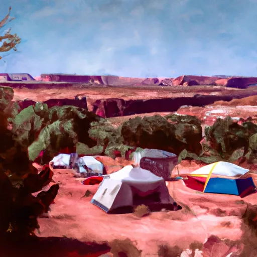 Hittle Bottom Recreation Site
|
||
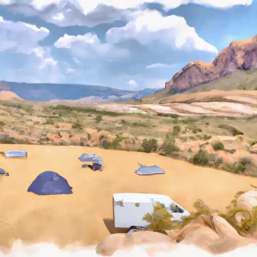 Hittle Bottom
|
||
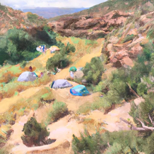 Lower Onion Creek Camping Area
|
||
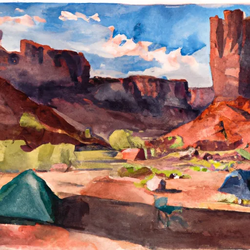 Fisher Towers Recreation Site
|
||
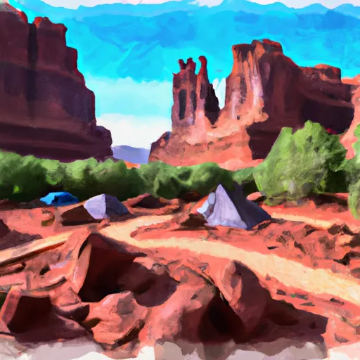 Fisher Towers Campground
|
||
 Fisher Towers
|


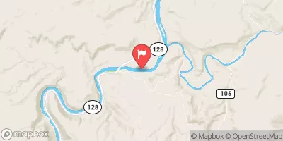
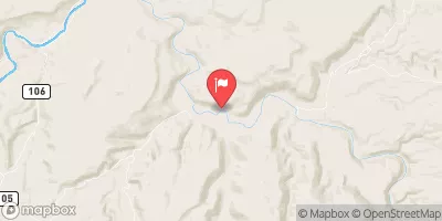
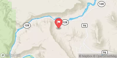
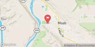
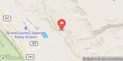
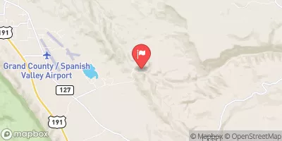
 UT 128 Moab
 Hittle Bottom Recreation Site
 Lower Onion Creek Boat Ramp
 Dewey Bridge Recreation Site
 Hittle Bottom to Rocky Rapid
 Moab Daily - Hittle Bottom to Take Out Beach
 Onion Creek