Summary
This section of river is class III-IV and includes many obstacles such as boulder gardens, tight drops, and hydraulics. The best time to float this section is during the spring runoff when the water flow is between 400-800 cfs. It is important to note that the river can be dangerous during high water levels, which typically occur in June. It is highly recommended that kayakers have previous experience on class III-IV rivers before attempting this run. Overall, the Sixth Water River Run offers a thrilling experience for experienced kayakers looking for a challenging adventure.
°F
°F
mph
Wind
%
Humidity
15-Day Weather Outlook
River Run Details
| Last Updated | 2023-06-13 |
| River Levels | 32 cfs (4.32 ft) |
| Percent of Normal | 96% |
| Optimal Range | 35-100 cfs |
| Status | Too Low |
| Class Level | V- to V |
| Elevation | 6,358 ft |
| Run Length | 1.0 Mi |
| Gradient | 245 FPM |
| Streamflow Discharge | 18.4 cfs |
| Gauge Height | 4.1 ft |
| Reporting Streamgage | USGS 10149000 |
5-Day Hourly Forecast Detail
Nearby Streamflow Levels
Area Campgrounds
| Location | Reservations | Toilets |
|---|---|---|
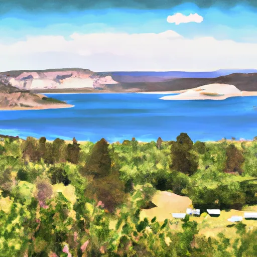 Strawberry Bay - Strawberry Reservoir
|
||
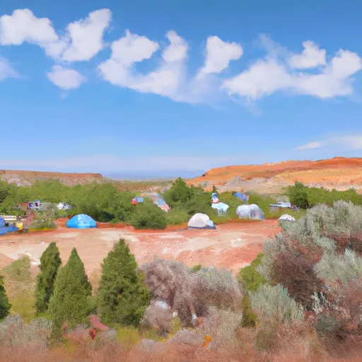 Strawberry Bay Campground
|
||
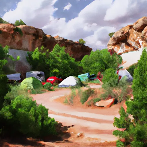 Sawmill Hollow
|
||
 Renegade Campground
|
||
 Renegade
|
||
 Balsam Campground
|


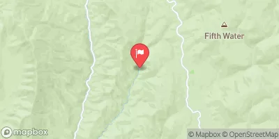
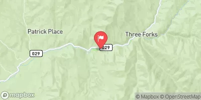
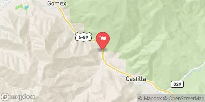
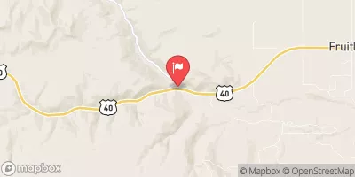
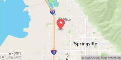

 Sixth Water
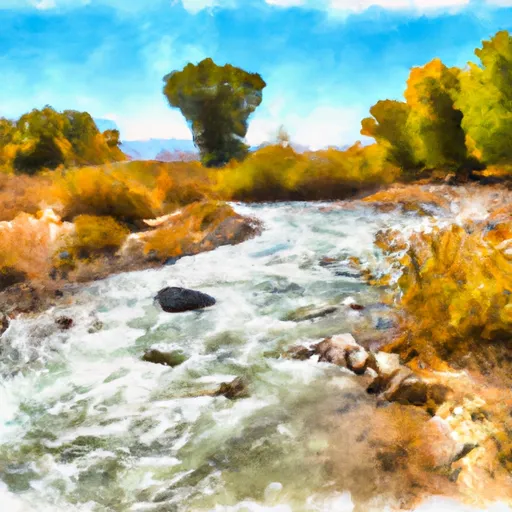 Headwaters To Confluence With Sixth Water Creek