2026-02-23T19:00:00-05:00
* WHAT...Heavy snow expected. Total snow accumulations between 5 and 12 inches with locally higher amounts into the Helderbergs and Schoharie County. Winds gusting between 30 and 40 mph will lead to areas of blowing snow. * WHERE...Schoharie County, the Helderbergs, portions of the Capital District and the Rensselaer Plateau in eastern New York and all of southern Vermont. * WHEN...From 7 PM this evening to 7 PM EST Monday. * IMPACTS...Travel could be difficult. Visibilities may drop below 1/4 mile due to falling and blowing snow. Areas of blowing snow could significantly reduce visibility. The hazardous conditions could impact the Monday morning and evening commutes. * ADDITIONAL DETAILS...A powerful nor'easter will impact the region late this afternoon through Monday. The higher snowfall amounts will be favored across the higher elevations. Snowfall rates may reach 1 inch per hour at times tonight into early Monday morning with up to 2 inches in the Helderbergs and Schoharie County.
Summary
It is rated as a Class III-IV river segment with a distance of approximately 4 miles. The run features several exciting rapids and obstacles, including the "Punchbowl" and "S-Turns," which offer challenging maneuvers for experienced paddlers. The river also has some tight channels, boulder gardens, and steep drops, making it an adrenaline-filled adventure.
Regulations for the area include a mandatory personal floatation device (PFD) for all paddlers and a strict "Leave No Trace" policy. Additionally, paddlers must respect private property and obtain permission to access the river from landowners. The run is accessible from the Headwaters and First Bridge put-ins, and shuttle services are available for transportation.
°F
°F
mph
Wind
%
Humidity
15-Day Weather Outlook
River Run Details
| Last Updated | 2026-01-20 |
| River Levels | 68 cfs (1.57 ft) |
| Percent of Normal | 57% |
| Status | |
| Class Level | iii-iv |
| Elevation | ft |
| Streamflow Discharge | cfs |
| Gauge Height | ft |
| Reporting Streamgage | USGS 01334000 |
5-Day Hourly Forecast Detail
Nearby Streamflow Levels
Area Campgrounds
| Location | Reservations | Toilets |
|---|---|---|
 Woodford State Park
|
||
 Red Mill Brook
|
||
 Grout Pond Recreation Area
|
||
 Grout Pond
|
||
 Camping on the Battenkill
|
||
 South Bourne Pond
|



 State Fishing Access North Bennington
 Headwaters To First Bridge
 First Bridge To Walloomsac Brook
 Woodford To Woodford Hollow
 Headwaters To North Of Searsburg Reservoir
 Branch Pond To Proclamation Boundary
 Stamford Town Line To Confluence With City Stream
 Wilderness Glastenbury
 Shaftsbury State Park
 Wilderness George D. Aiken
 Wilderness Lye Brook
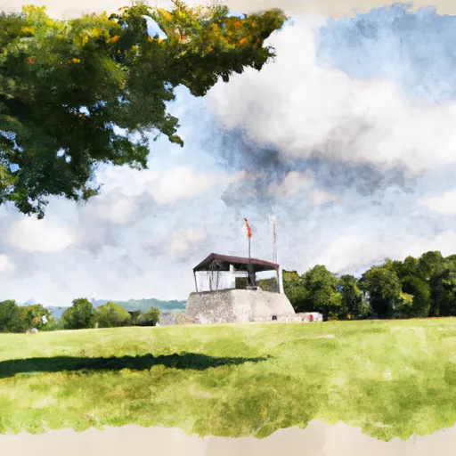 Bennington Battlefield State Historic Site