Summary
This section of the river has an ideal streamflow range of 500-2000 cfs, which provides a good challenge for intermediate to advanced paddlers. The class rating for this section of the river is Class III to IV, with some challenging rapids such as "The Staircase" and "The Flume."
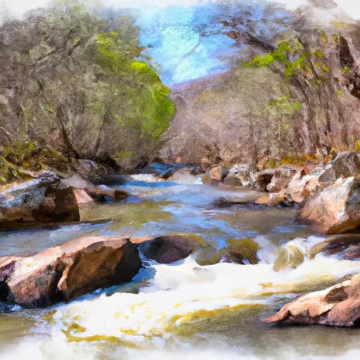
The segment mileage for this run is approximately 5 miles, with a mix of calm stretches and adrenaline-pumping rapids. The river is surrounded by lush forests and scenic mountain views, providing a beautiful backdrop for the adventure.
Specific river rapids/obstacles to watch out for include "The Staircase," a series of drops and ledges, and "The Flume," a narrow chute with a big drop at the end. It is important to navigate these rapids with caution and follow proper safety protocols.
There are specific regulations to the area, including the requirement of a Virginia fishing license for those who choose to fish. Additionally, camping and fires are not permitted in the designated recreation area. It is important to check with local authorities for any current regulations or restrictions before planning a trip to this section of the river.
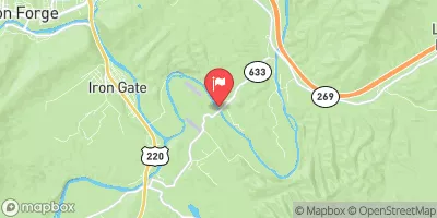
Overall, the Whitewater River Run from Top of Apple Orchards Falls to Confluence of North Creek with Jennings Creek is an exciting and challenging experience for experienced paddlers. It is important to follow safety protocols and regulations to ensure a safe and enjoyable trip.
°F
°F
mph
Wind
%
Humidity
15-Day Weather Outlook
River Run Details
| Last Updated | 2026-02-07 |
| River Levels | 812 cfs (2.6 ft) |
| Percent of Normal | 14% |
| Status | |
| Class Level | iii |
| Elevation | ft |
| Streamflow Discharge | cfs |
| Gauge Height | ft |
| Reporting Streamgage | USGS 02019500 |
5-Day Hourly Forecast Detail
Nearby Streamflow Levels
 James River At Buchanan
|
6510cfs |
 Big Otter River Near Bedford
|
53cfs |
 Craig Creek At Parr
|
95cfs |
 James River At Lick Run
|
3890cfs |
 Cowpasture River Near Clifton Forge
|
133cfs |
 Maury River Near Buena Vista
|
1840cfs |


 North Creek
 North Creek Campground
 Cave Mountain Lake Recreation Area
 Cave Mountain Lake
 Cave Mountain Lake Campground
 Hopper Creek Group Campground
 Top Of Apple Orchards Falls To Confluence Of North Creek With Jennings Creek