Summary
The Whitewater River Run is a popular destination for kayakers and rafters in Virginia. The ideal streamflow range for this run is between 500-1500 cfs for a fun and exciting trip. The class rating for this stretch of river is Class III-IV, which means it is suitable for intermediate to advanced paddlers. The segment mileage of this run is approximately 5 miles.
The river rapids and obstacles on this run include several Class III rapids, such as S-Turn, Grinder, and Pinball. There are also some Class IV rapids, such as Iron Ring and Swirl. These rapids provide an exciting challenge for experienced paddlers.
There are specific regulations to the area that paddlers should be aware of. Paddlers are required to wear a personal flotation device at all times while on the river. Additionally, camping is not allowed within 300 feet of the river, and fires are not allowed within 100 feet of the river.
Overall, the Whitewater River Run is an exciting and challenging stretch of river for experienced paddlers. It is important to check the streamflow range before heading out, follow all regulations, and use caution on the rapids and obstacles.
°F
°F
mph
Wind
%
Humidity
15-Day Weather Outlook
River Run Details
| Last Updated | 2026-02-07 |
| River Levels | 13 cfs (2.84 ft) |
| Percent of Normal | 20% |
| Status | |
| Class Level | iii-iv |
| Elevation | ft |
| Streamflow Discharge | cfs |
| Gauge Height | ft |
| Reporting Streamgage | USGS 02024915 |
5-Day Hourly Forecast Detail
Nearby Streamflow Levels
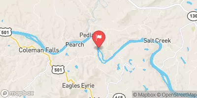 James River At Holcomb Rock
|
8910cfs |
 Pedlar River At Forest Road Near Buena Vista
|
55cfs |
 Maury River Near Buena Vista
|
1840cfs |
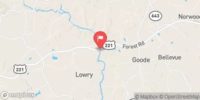 Big Otter River Near Bedford
|
53cfs |
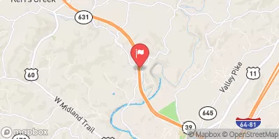 Kerrs Creek Near Lexington
|
58cfs |
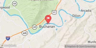 James River At Buchanan
|
6510cfs |


 Otter Creek Recreation Area
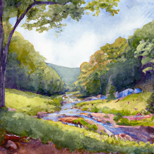 Otter Creek - Blue Ridge Parkway
 Town shelter (with shower, toilet & electricity)
 Hopper Creek Group Campground
 Cave Mountain Lake Campground
 Cave Mountain Lake
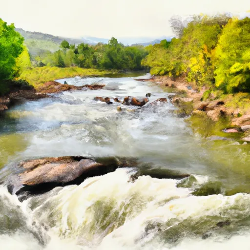 1 Mile Southeast Of Buchanan (At End Of Nfs Land) To Snowden Dam Reservoir