Summary
The ideal streamflow range for this run is between 1,000 and 3,000 cubic feet per second (cfs). This range provides the necessary water flow for an exciting and challenging experience, while also ensuring safety.
The class rating for the Whitewater River Run is Class III-IV. This means that the rapids and obstacles are moderately difficult and require intermediate skills to navigate. The segment mileage for this run is approximately 5 miles, which takes around 2-3 hours to complete.
Some of the specific rapids and obstacles that kayakers and rafters will encounter on this run include the "S-Bends," "The Notch," and "The Last Drop." These rapids are known for their technical challenges and require precise maneuvering to safely navigate.
There are specific regulations in place for the Whitewater River Run. All visitors must obtain a backcountry permit, and there are restrictions on the number of people allowed in a group. Additionally, visitors must follow leave-no-trace principles and pack out all trash.
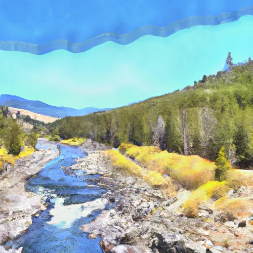
In summary, the Whitewater River Run in the Ross Lake National Recreation Area Boundary to the Slack Water Of Ross Lake is a thrilling and challenging experience for kayakers and rafters. The ideal streamflow range is between 1,000 and 3,000 cfs, and the class rating is III-IV. The segment mileage is approximately 5 miles, and visitors will encounter specific rapids and obstacles such as the "S-Bends," "The Notch," and "The Last Drop." Finally, visitors must follow specific regulations, including obtaining a backcountry permit, limiting group size, and packing out all trash.
°F
°F
mph
Wind
%
Humidity
15-Day Weather Outlook
River Run Details
| Last Updated | 2026-02-11 |
| River Levels | 1870 cfs (10.07 ft) |
| Percent of Normal | 118% |
| Status | |
| Class Level | iii-iv |
| Elevation | ft |
| Run Length | 1.0 Mi |
| Streamflow Discharge | cfs |
| Gauge Height | ft |
| Reporting Streamgage | USGS 12175500 |
5-Day Hourly Forecast Detail
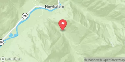
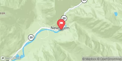
Nearby Streamflow Levels
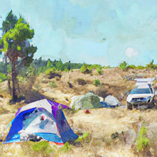
Area Campgrounds
| Location | Reservations | Toilets |
|---|---|---|
 Granite Creek Cabin Campground
|
||
 Panther
|
||
 Ruby Pasture
|
||
 Hidden Hand
|
||
 Cougar Island
|
||
 Cougar Island Camp
|


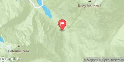
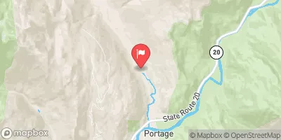
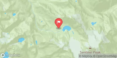
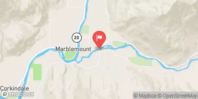
 Ross Lake National Recreation Area Boundary To Slack Water Of Ross Lake
 Confluence Of Canyon And Granite Creeks To Ross Lake National Recreation Area Boundary
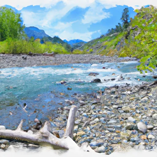 Point On Range Line To Ruby Creek
 Pasayten Wilderness Boundary To Point On Range Line Between Sec 12, R14E And Sec 17, R16E