Summary
This boat ramp is primarily designed for launching and retrieving small boats and watercraft, including fishing boats, canoes, kayaks, and other small vessels. It is a well-maintained facility that provides easy access to the water for boaters and fishermen.
The White Chuck Boat Launch is approximately 30 feet wide, which makes it suitable for smaller boats and watercraft. It is also equipped with a dock and boat ramp that allows for easy launching and retrieval of your boat. The ramp itself is constructed of concrete, which provides a stable and durable surface for launching and retrieving boats.
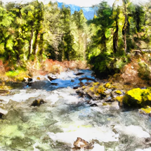
This boat launch services the White Chuck River, which is a small river located in Snohomish County, Washington. The river is known for its abundant fishing opportunities, particularly for trout and salmon. The White Chuck Boat Launch is a popular spot for anglers looking to launch their boats and access the river for fishing or other recreational activities.
As far as permitted watercraft, the White Chuck Boat Launch is primarily designed for smaller boats and watercraft, so larger vessels are not recommended. However, most types of small boats and watercraft are permitted, including fishing boats, canoes, kayaks, and other similar vessels. It is important to check with local authorities regarding any specific rules and regulations regarding boat use in the area.
In summary, the White Chuck Boat Launch is a well-maintained facility located in Washington state, designed primarily for launching and retrieving small boats and watercraft. It is approximately 30 feet wide and is constructed of concrete, providing a stable and durable surface for launching and retrieving boats. The boat launch services the White Chuck River, a small river known for its abundant fishing opportunities. Most types of small boats and watercraft are permitted, but it is important to check with local authorities regarding specific rules and regulations.
°F
°F
mph
Wind
%
Humidity
15-Day Weather Outlook
Nearby Boat Launches
5-Day Hourly Forecast Detail
Area Streamflow Levels
River Runs
-
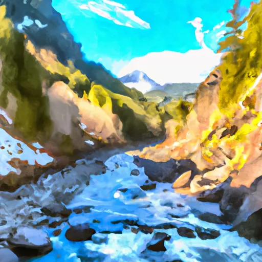 Glacier Peak Wilderness Boundary To Confluence With Sauk River
-
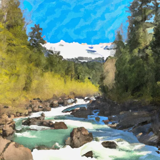 Glacier Peak Wilderness Boundary To Confluence With Suiattle River
-
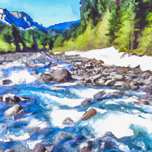 Headwaters In Ne1/4 Of Sec 4, T33N, R12E To Glacier Peak Wilderness Boundary
-
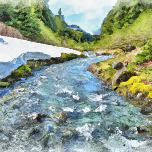 Headwaters In Nw1/4 Of Sec 6, T29N, R14E To Glacier Peak Wilderness Boundary
-
 Headwaters In Sw1/4 Of Sec 19, T29N, R14E To Boundary Of The North Fork Sauk Portion Of Skagit Wsr

 White Chuck Boat Launch