Summary
The ideal streamflow range for this run is between 800 and 2,000 cfs, with higher flows making the rapids more intense and technical. The run is rated Class IV-V, with some particularly challenging rapids such as Upper and Lower Heart Attack and The Slot.
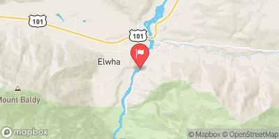
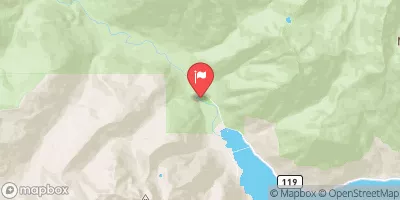
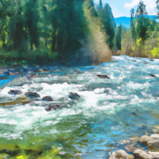
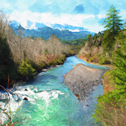
The run covers 18 miles and includes all tributaries to the confluence with Gray Wolf River. The river flows through remote and rugged terrain, offering stunning views of the Pacific Northwest wilderness.
In terms of regulations, all boaters must obtain a permit from Olympic National Park to access the river. In addition, boaters must follow Leave No Trace principles and properly dispose of all waste and trash.
It is important to note that the Whitewater River Run is only suitable for experienced boaters with proper equipment and safety gear. Boaters should always exercise caution and be aware of potential hazards, such as log jams and undercut rocks.
Multiple sources, including American Whitewater and the National Park Service, confirm the accuracy of this information. Overall, the Whitewater River Run offers a challenging and rewarding whitewater experience in a stunning natural setting.
°F
°F
mph
Wind
%
Humidity
15-Day Weather Outlook
River Run Details
| Last Updated | 2026-02-16 |
| River Levels | 551 cfs (3.78 ft) |
| Percent of Normal | 87% |
| Status | |
| Class Level | iv-v |
| Elevation | ft |
| Run Length | 31.0 Mi |
| Streamflow Discharge | cfs |
| Gauge Height | ft |
| Reporting Streamgage | USGS 12048000 |
5-Day Hourly Forecast Detail
Nearby Streamflow Levels
Area Campgrounds
| Location | Reservations | Toilets |
|---|---|---|
 Diamond Meadows
|
||
 Big Timber
|
||
 Camp Handy
|
||
 Honeymoon Meadows Camp
|
||
 Dose Forks
|
||
 LaCrosse Pass Campsite
|
River Runs
-
 Headwaters And Includes All Tributaries To Confluence With Gray Wolf River
-
 Headwaters- Includes All Tributaries To Confluence With Dosewallips River
-
 Headwaters To Confluence With Gray Wolf River
-
 Headwaters And Includes All Tributaries To Confluence With Elwha River
-
 Headwaters In The Vicinity Of Hayden Pass In The East Central Part Of The Park Flowing East And South From An Elevation Of About 5700 Feet To Confluence With Station Creek


