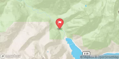
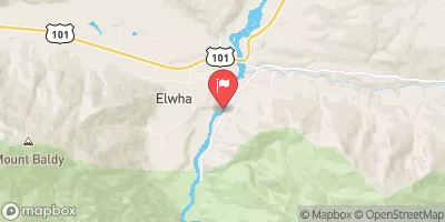
Summary
The river is rated a Class III-IV, which means it is considered intermediate to advanced and requires experience and strong paddling skills. The segment mileage is approximately 12 miles and includes rapids such as "The Narrows", "Boulder Drop", and "Pinball". These rapids offer exciting challenges for experienced whitewater paddlers.
The area is regulated by the National Park Service and requires a permit for overnight camping. The use of motorized boats is prohibited, and all visitors must follow Leave No Trace principles. The river is only accessible by foot, and there are no designated put-in or take-out points, so visitors must be prepared for a rugged and remote experience.
According to American Whitewater, the Whitewater River Run offers some of the most challenging and rewarding whitewater paddling in the Olympic Peninsula. However, it is important to note that due to the remote nature of the area and the high level of difficulty, this run is not recommended for novice paddlers. It is crucial to have proper training and gear, along with experience in Class III-IV rapids, before attempting this run.
°F
°F
mph
Wind
%
Humidity
15-Day Weather Outlook
River Run Details
| Last Updated | 2026-02-16 |
| River Levels | 130 cfs (1.64 ft) |
| Percent of Normal | 61% |
| Status | |
| Class Level | iii-iv |
| Elevation | ft |
| Run Length | 22.0 Mi |
| Streamflow Discharge | cfs |
| Gauge Height | ft |
| Reporting Streamgage | USGS 12052210 |
5-Day Hourly Forecast Detail
Nearby Streamflow Levels
Area Campgrounds
| Location | Reservations | Toilets |
|---|---|---|
 Camp Handy
|
||
 Camp Mystery
|
||
 Dose Forks
|
||
 Big Timber
|
||
 Dosewallips Campground
|
||
 Dosewallips
|
River Runs
-
 Headwaters At 5700 Ft In The Royal Basin And Includes All Tributaries Within The Park To Eastern Boundary Of Olympic National Forest
-
 Headwaters At About 6000 Ft. In Basins On The North Side Of Gray Wolf Pass And Includes All Tributaries Within The Park To Eastern Boundary Of Olympic National Forest
-
 Headwaters- Includes All Tributaries To Confluence With Dosewallips River


