Summary
The ideal streamflow range for this run is between 1,000 and 5,000 cfs, which typically occurs during the spring and early summer months.
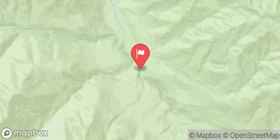
The class rating for this run is primarily Class III, with some Class IV rapids towards the end of the run. The segment mileage is approximately 18 miles, starting at the End of Upper Hoh Road and beginning of Hoh River Trail and ending at the Western Boundary of Olympic National Park.
Some specific rapids and obstacles on this run include Boulder Drop, Elbow Room, and the Roaring Twenties. It is important to note that kayakers and rafters must obtain a backcountry permit from Olympic National Park before embarking on this run. Additionally, all regulations and guidelines set forth by Olympic National Park must be followed to ensure the safety of all participants.
°F
°F
mph
Wind
%
Humidity
15-Day Weather Outlook
River Run Details
| Last Updated | 2026-02-10 |
| River Levels | 1890 cfs (3.17 ft) |
| Percent of Normal | 92% |
| Status | |
| Class Level | iii-iv |
| Elevation | ft |
| Run Length | 21.0 Mi |
| Streamflow Discharge | cfs |
| Gauge Height | ft |
| Reporting Streamgage | USGS 12041200 |
5-Day Hourly Forecast Detail
Nearby Streamflow Levels
Area Campgrounds
| Location | Reservations | Toilets |
|---|---|---|
 Hoh Rain Forest
|
||
 Mount Tom Creek Campsites
|
||
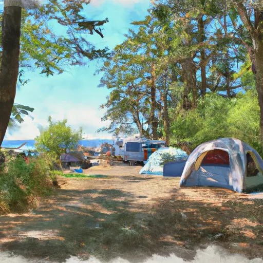 Five Mile Island Campsite
|
||
 Five Mile Island Campsites
|
||
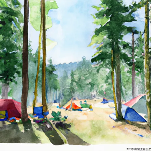 Happy Four Campsite #2
|
||
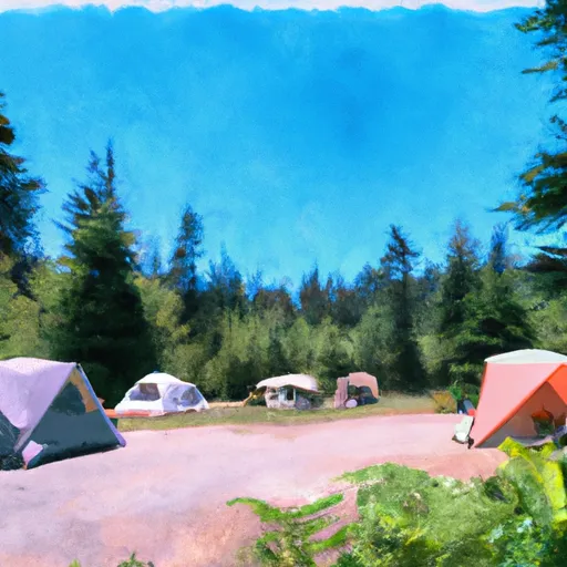 Happy Four Campsite #1
|
River Runs
-
 End Of Upper Hoh Road And Beginning Of Hoh River Trail. To Western Boundary Of Olympic National Park
-
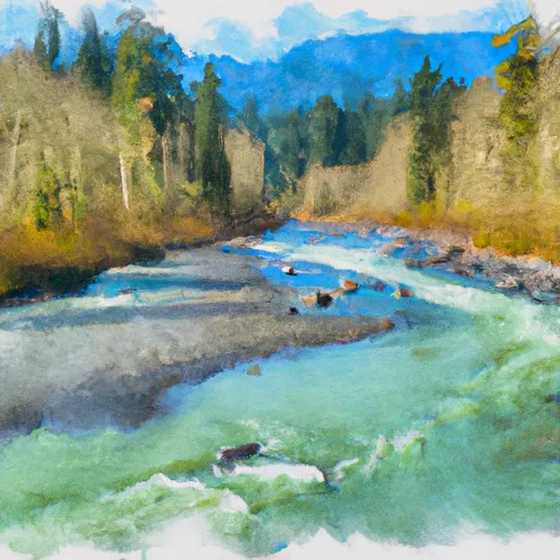 Headwaters And Includes All Tributaries To Confluence With Hoh River
-
 Headwaters And Includes All Tributaries To Confluence With Unnamed Tributary
-
 Headwaters And Includes All Tributaries To Confluence With Twin Creek
-
 Headwaters And Includes All Tributaries To Confluence With North Fork Bogachiel River


