Summary
The ideal streamflow range for the river is between 600-1,200 cubic feet per second (cfs), which provides enough water for good rapids without being too dangerous. The river is rated as Class III-IV, making it suitable for intermediate to advanced kayakers and rafters.
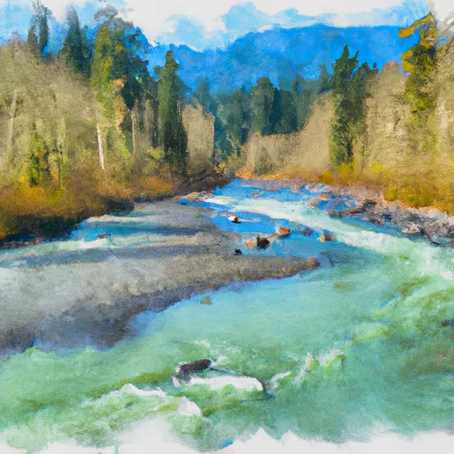
The segment mileage of the Whitewater River Run is approximately 8 miles, starting at the headwaters and including all tributaries to the confluence with an unnamed tributary. The river is known for its challenging rapids, such as the "Big Drop" and "The Bump", as well as its stunning scenery, including dense forests and rocky cliffs.
There are specific regulations that apply to the Whitewater River Run. All participants must wear a personal flotation device (PFD) and a helmet, and there is a limit on the number of people allowed on the river at one time. Additionally, there are restrictions on camping and fires in the surrounding areas to protect the natural environment.
Overall, the Whitewater River Run is a challenging and rewarding experience for experienced kayakers and rafters. Its ideal streamflow range, class rating, segment mileage, specific river rapids/obstacles, and regulations make it a popular destination for adventure-seekers.
°F
°F
mph
Wind
%
Humidity
15-Day Weather Outlook
River Run Details
| Last Updated | 2026-02-16 |
| River Levels | 1890 cfs (3.17 ft) |
| Percent of Normal | 63% |
| Status | |
| Class Level | iii-iv |
| Elevation | ft |
| Run Length | 6.0 Mi |
| Streamflow Discharge | cfs |
| Gauge Height | ft |
| Reporting Streamgage | USGS 12041200 |
5-Day Hourly Forecast Detail
Nearby Streamflow Levels
Area Campgrounds
| Location | Reservations | Toilets |
|---|---|---|
 Hoh Rain Forest
|
||
 Mount Tom Creek Campsites
|
||
 Five Mile Island Campsite
|
||
 Five Mile Island Campsites
|
||
 Hoh River Trust
|
||
 Happy Four Campsite #2
|
River Runs
-
 Headwaters And Includes All Tributaries To Confluence With Unnamed Tributary
-
 Headwaters And Includes All Tributaries To Confluence With Twin Creek
-
 Headwaters And Includes All Tributaries To Confluence With Hoh River
-
 End Of Upper Hoh Road And Beginning Of Hoh River Trail. To Western Boundary Of Olympic National Park


