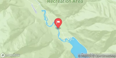
Summary
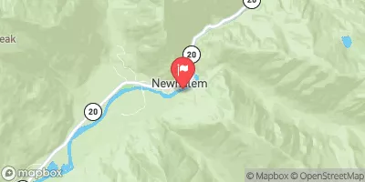
The ideal streamflow range for this river is between 1,000 to 4,000 cubic feet per second (cfs). The river is rated as Class III-IV, making it challenging but not impossible for experienced rafters. The segment mileage of the Whitewater River Run is approximately 12 miles, starting from the headwaters and including all tributaries to the confluence with Grizzly Creek.
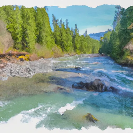
The river rapids/obstacles on this run include The Chute, a Class IV rapid featuring a steep drop and tight turns, and The Flume, a Class III rapid with a narrow channel and steep drops. Other notable rapids include The S-Turn, The Wall, and The Pinball. It is important to note that due to the changing nature of the river, rapids may increase or decrease in difficulty depending on the current water level.
Specific regulations to the area include the requirement for all participants to wear appropriate safety gear, such as helmets and life jackets, and to adhere to the Leave No Trace principles, including packing out all trash and minimizing impact on the environment. Permits may be required for access to certain areas of the river, and it is important to check with local authorities before embarking on this adventure.
River Run Details
| Last Updated | 2026-01-26 |
| River Levels | 941 cfs (15.36 ft) |
| Percent of Normal | 313% |
| Status | |
| Class Level | iii-iv |
| Elevation | ft |
| Run Length | 6.0 Mi |
| Streamflow Discharge | cfs |
| Gauge Height | ft |
| Reporting Streamgage | USGS 12447383 |
Hourly Weather Forecast
Nearby Streamflow Levels
Area Campgrounds
| Location | Reservations | Toilets |
|---|---|---|
 Walker Park
|
||
 Fireweed Camps
|
||
 Fisher
|
||
 Dan's
Dan's
|
||
 Two Mile
|
||
 Heaton
|
River Runs
-
 Headwaters And Includes All Tributaries To Confluence With Grizzly Creek
-
 Headwaters And Includes All Tributaries To Confluence With Bridge Creek
-
 Headwaters And Includes All Tributaries To Confluence With North Fork Bridge Creek
-
 Headwaters And Includes All Tributaries In Wenatchee National Forest To Confluence With Bridge Creek


