

None
...The Flood Warning continues for the following rivers in Washington... Stehekin River at Stehekin affecting Chelan County. For the Stehekin River...including Stehekin...Minor flooding is forecast. * WHAT...Minor flooding is occurring and minor flooding is forecast. * WHERE...Stehekin River at Stehekin. * WHEN...Until further notice. * ADDITIONAL DETAILS... - At 10:30 PM PDT Wednesday the stage was 22.7 feet. - Bankfull stage is 19.5 feet. - Recent Activity...The maximum river stage in the 24 hours ending at 10:30 PM PDT Wednesday was 22.8 feet. - Forecast...The river is expected to rise to a crest of 22.9 feet Wednesday night and fall through the rest of the week. - Flood stage is 20.5 feet. - http://www.weather.gov/safety/flood
Summary
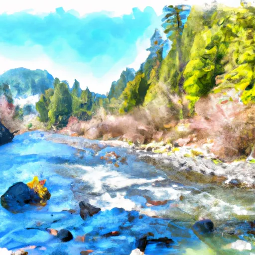
The ideal streamflow range for this run is between 500 and 3000 cubic feet per second (cfs), which provides a good balance of fast-moving water and manageable rapids.
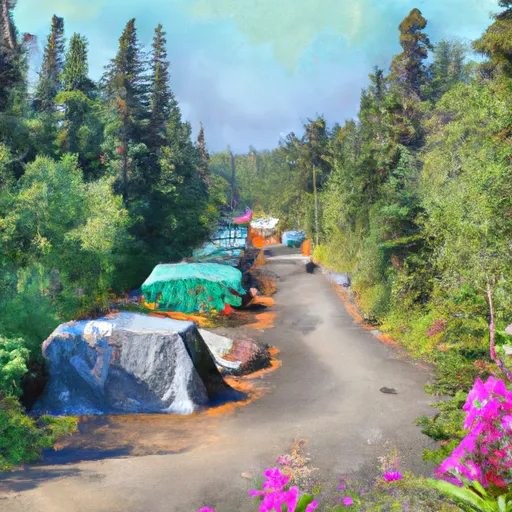
The river is rated as a class III-IV, with some sections reaching class V. With a total segment mileage of approximately 10 miles, the run requires skilled paddling and maneuvering through various obstacles, including boulder gardens, tight canyons, and steep drops.
Some of the notable rapids and obstacles along the river include "Pinball", a series of tight turns and boulder obstacles; "The Wall", a steep drop with a narrow chute; and "The S-Turns", a section with several sharp turns and obstacles.
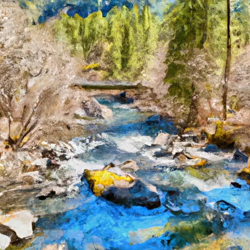
It is important to note that this run requires a permit from the Department of Natural Resources, which restricts access to certain sections of the river and limits the number of paddlers on the river at any given time. Additionally, all paddlers are required to wear personal floatation devices and comply with all safety regulations established by the state.
In summary, the Whitewater River Run is an exciting and challenging adventure for experienced paddlers. With an ideal streamflow range of 500-3000 cfs, a segment mileage of approximately 10 miles, and a class rating of III-IV, this run offers a range of obstacles and rapids that will test the skills of even the most experienced paddlers. However, it is important to obtain the necessary permits and comply with all safety regulations to ensure a safe and enjoyable adventure.
Regional Streamflow Levels
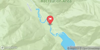 Stehekin River At Stehekin
|
6200cfs |
 Salix Creek At S Cascade Gl Near Marblemount
|
0cfs |
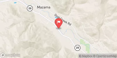 Methow River Above Goat Creek Near Mazama
|
4340cfs |
 Thunder Creek Near Newhalem
|
1520cfs |
 Chewuch River At Winthrop
|
2510cfs |
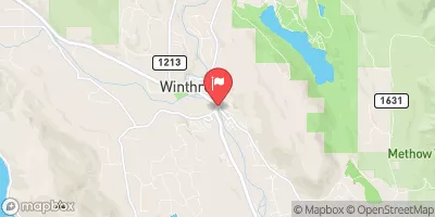 Methow River At Winthrop
|
7140cfs |
15-Day Long Term Forecast
River Run Details
| Last Updated | 2026-05-05 |
| River Levels | 3790 cfs (21.56 ft) |
| Percent of Normal | 147% |
| Status | |
| Class Level | iii-iv |
| Elevation | ft |
| Run Length | 2.0 Mi |
| Streamflow Discharge | cfs |
| Gauge Height | ft |
| Reporting Streamgage | USGS 12451000 |

5-Day Hourly Forecast Detail
Area Campgrounds
| Location | Reservations | Toilets |
|---|---|---|
 Dan's
Dan's
|
||
 Fireweed Camps
|
||
 McAlester Lake Stock Camp
|
||
 McAlester Lake Camp
|
||
 McAlester Lake
|
||
 Rainbow Lake Camp
|
 Headwaters And Includes All Tributaries To Confluence With Bridge Creek
 Headwaters And Includes All Tributaries To Confluence With Mcalester Creek
 Headwaters And Includes All Tributaries In Wenatchee National Forest To Confluence With Bridge Creek
 Lake Chelan National Recreation Area
 Wilderness Stephen Mather
 Wilderness Pasayten