Summary
The ideal streamflow range for this run is between 800 and 3,000 cubic feet per second (cfs). The river is rated as a Class III-IV rapid, with some sections reaching Class V during high water.
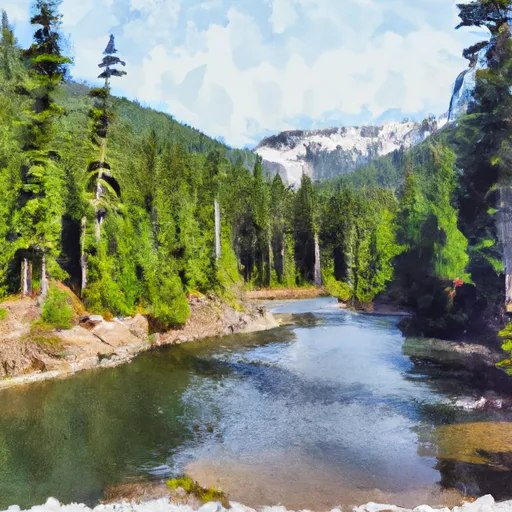
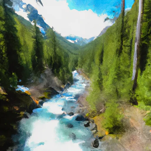
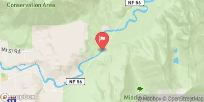
The run starts at the Alpine Lakes Wilderness Boundary and ends at Quartz Creek Road, covering a distance of approximately 9.5 miles. The river features several challenging rapids, including the S-turn, the Meatgrinder, and the Corkscrew. The S-turn is a narrow channel with a sharp turn that requires precise maneuvering. The Meatgrinder is a long rapid with multiple drops and tight chutes. The Corkscrew is a complex rapid with several obstacles and a tight channel.
There are several regulations in place to protect the wilderness and ensure the safety of visitors. Rafters and kayakers are required to obtain a permit to access the river. The permit system helps to limit the number of visitors and reduce the impact on the environment. Additionally, visitors are required to follow Leave No Trace principles, pack out all trash, and avoid disturbing wildlife.
In conclusion, the Whitewater River run from the Alpine Lakes Wilderness Boundary to Quartz Creek Road is a challenging and exhilarating whitewater experience. With the ideal streamflow range of 800 to 3,000 cfs, Class III-IV rapids, and several challenging sections, it is a popular destination for experienced rafters and kayakers. However, visitors must obtain a permit and follow regulations to protect the wilderness and ensure the safety of all visitors.
°F
°F
mph
Wind
%
Humidity
15-Day Weather Outlook
River Run Details
| Last Updated | 2026-02-07 |
| River Levels | 958 cfs (3.18 ft) |
| Percent of Normal | 42% |
| Status | |
| Class Level | iii-iv |
| Elevation | ft |
| Streamflow Discharge | cfs |
| Gauge Height | ft |
| Reporting Streamgage | USGS 12141300 |
5-Day Hourly Forecast Detail
Nearby Streamflow Levels
Area Campgrounds
River Runs
-
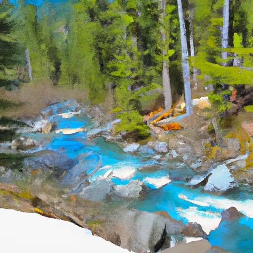 Alpine Lakes Wilderness Boundary To Quartz Creek Road
-
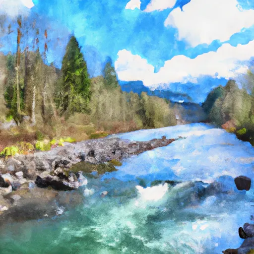 Quartz Road To Confluence With Middle Fork Snoqualmie River
-
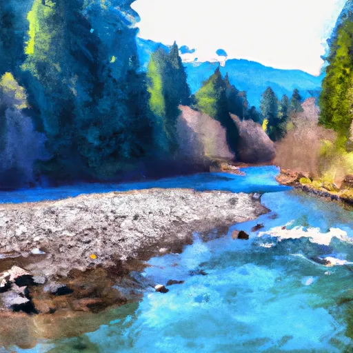 Outlet Of Snoqualmie Lake To Alpine Lakes Wilderness Boundary
-
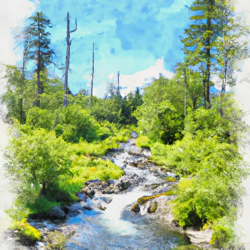 Headwaters In Se1/4 Of Sec 31, T24 1/2N, R11E To Alpine Lakes Wilderness Boundary
-
 Lake Dorothy To Alpine Lakes Wilderness Boundary
-
 Alpine Lakes Wilderness Boundary To Confluence With East Fork Miller River


 Pratt River Backcountry Camping
 Middle Fork Backcountry Camping
 Lower Tuscohatchie Lake Backcountry Camping
 Hardscrabble Horse Camp
 Mason Lake Backcountry Camping
 Alice Creek Campsite