Summary
The ideal streamflow range for this section of the river is between 1500-5000 cfs, with the best time to go being in the late spring or early summer.
This section of the river is rated as a class III-IV, with some challenging rapids and obstacles throughout the 11-mile segment. Some of the notable rapids include The Chute, The S-Turn, and The Wall.
There are specific regulations in place for this area, including the requirement for a permit to access the river. Additionally, all boaters must wear a personal flotation device, and there are restrictions on where boats can launch and take out.
It is important to note that this section of the river can be dangerous and should only be attempted by experienced whitewater enthusiasts. It is always recommended to go with a trained guide or experienced paddler, and to thoroughly research the current conditions and water levels before embarking on any whitewater trip.
°F
°F
mph
Wind
%
Humidity
15-Day Weather Outlook
River Run Details
| Last Updated | 2026-02-07 |
| River Levels | 1130 cfs (5.74 ft) |
| Percent of Normal | 93% |
| Status | |
| Class Level | iii-iv |
| Elevation | ft |
| Streamflow Discharge | cfs |
| Gauge Height | ft |
| Reporting Streamgage | USGS 12456500 |
5-Day Hourly Forecast Detail
Nearby Streamflow Levels
 Chiwawa River Near Plain
|
260cfs |
 Wenatchee River At Plain
|
1490cfs |
 Entiat River Near Ardenvoir
|
224cfs |
 Wenatchee River At Peshastin
|
2390cfs |
 Icicle Creek Above Snow Creek Near Leavenworth
|
465cfs |
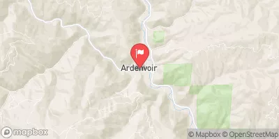 Mad River At Ardenvoir
|
85cfs |
Area Campgrounds
| Location | Reservations | Toilets |
|---|---|---|
 Glacier View Campground
|
||
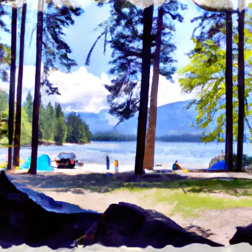 Lake Wenatchee State Park
|
||
 Lake Wenatchee State Park Camp
|
||
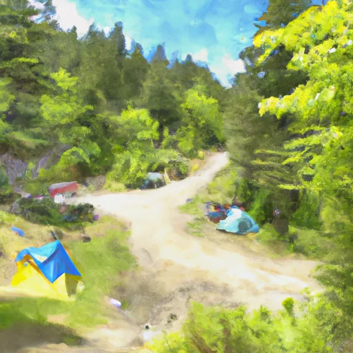 Nason Creek Campground
|
||
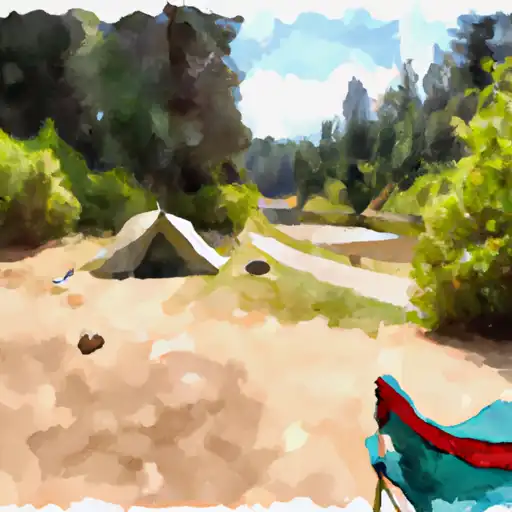 Nason Creek
|
||
 Meadow Creek Campground
|
River Runs
-
 Point At East Section Line Of Sec 13, T28N, R15E To Lake Wenatchee
-
 Glacier Peak Wilderness Boundary To Confluence With Wenatchee River
-
 Glacier Peak Wilderness Boundary To Confluence With White River
-
 Headwaters In Sw1/4 Of Sec 21, T30N, R15E To Glacier Peak Wilderness Boundary And Including Twin Lakes Creek In Secs 16/17, T28N, R16E
-
 Glacier Peak Wilderness Boundary To A Point Approximately 0.5 Mile Above The Tall Timbers Range At East Section Line Of Sec 13, T28N, R15E

