Headwaters In Sw 1/4 Of Sec 8, T4n, R6e To Gifford Pinchot Nf Boundary Paddle Report
Last Updated: 2026-05-09
°F
°F
mph
Wind
%
Humidity
Get the latest Paddle Report, Streamflow Levels, and Weather Forecast for Headwaters In Sw 1/4 Of Sec 8, T4n, R6e To Gifford Pinchot Nf Boundary in Washington. Washington Streamflow Levels and Weather Forecast
Summary
Regional Streamflow Levels
 Canyon Creek Near Amboy
|
107cfs |
 East Fork Lewis River Near Heisson
|
228cfs |
 Speelyai Creek Near Cougar
|
24cfs |
 Lewis River At Ariel
|
2860cfs |
 Lewis River Above Muddy River Near Cougar
|
744cfs |
 Beaver Creek At Troutdale
|
1cfs |
15-Day Long Term Forecast
River Run Details
| Last Updated | 2026-05-09 |
| River Levels | 151 cfs (10.95 ft) |
| Percent of Normal | 36% |
| Status | |
| Class Level | None |
| Elevation | ft |
| Streamflow Discharge | cfs |
| Gauge Height | ft |
| Reporting Streamgage | USGS 14222500 |
5-Day Hourly Forecast Detail
Area Campgrounds
River Runs
-
 Headwaters In Sw 1/4 Of Sec 8, T4N, R6E To Gifford Pinchot Nf Boundary
-
 Nw1/4 Of Sec 9, T5N, R6E To Ne1/4 Of Sec 6, T5N, R5E
-
 Headwaters In Sw1/4 Of Sec 13, T6N, R7E To Hemlock Road Bridge In Nw1/4 Of Sec 26, T4N, R7E
-
 Gifford Pinchot Nf Boundary To Maximum Pool Of Swift Reservoir In Nw1/4 Of Sec 35, T7N, R6E
-
 Confluence With Smith Creek To Confluence With Lewis River
-
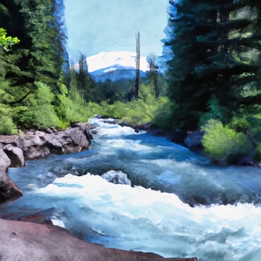 Mt. Adams Wilderness Boundary To Gifford Pinchot Nf Boundary


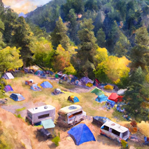 Campground: Sunset Falls Campground and Day Use
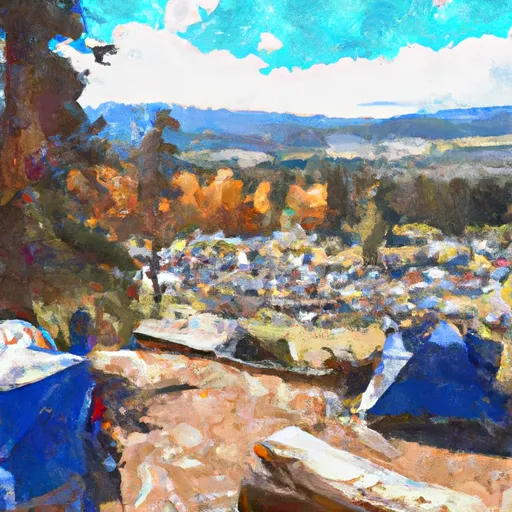 Copper City Campsite
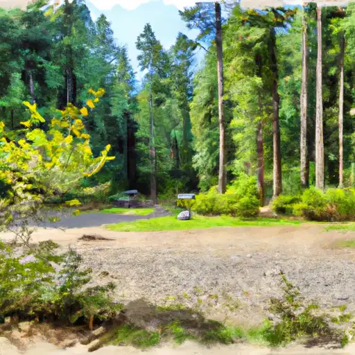 Cold Creek- State Forest
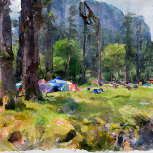 Dougan Creek Campground
 Dougan Falls- State Forest
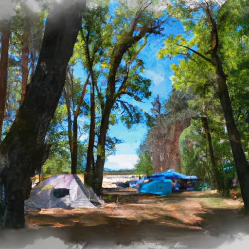 Battle Ground Lake State Park
 Frasier Road 499, Ariel
 Moulton Falls Park
 Town Well Park
 Yacolt Town Park
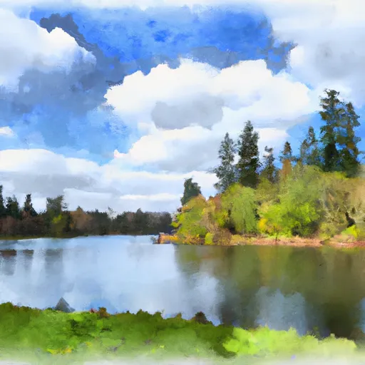 Battle Ground Lake State Park
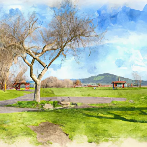 Amboy Park
 Continue with Snoflo Premium