Glacier Peak Wilderness Boundary To A Point Approximately 0.5 Mile Above The Tall Timbers Range At East Section Line Of Sec 13, T28n, R15e Paddle Report
Last Updated: 2026-02-07
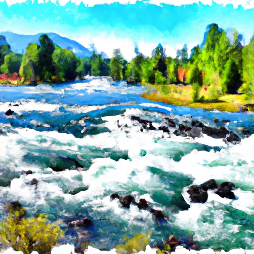
The Whitewater River run in the Glacier Peak Wilderness Boundary to a point approximately 0.5 mile above the Tall Timbers Range at East Section Line of Sec 13, T28N, R15E in the state of Washington is a popular destination for whitewater enthusiasts.
Summary
The ideal streamflow range for this section of the river is between 800 and 2000 cfs. The class rating for the run is Class III-IV, making it suitable for intermediate to advanced paddlers. The segment mileage is approximately 5 miles.
There are several notable rapids and obstacles in this section of the river, including the Tumble Creek Rapid, Pinball Rapid, and the S-Bend Rapid. These rapids offer exciting challenges for experienced paddlers and require careful navigation.
As for regulations, the Whitewater River run is located within the Glacier Peak Wilderness and is managed by the US Forest Service. Special regulations apply to this area, including restrictions on group size and camping. Visitors are also required to obtain a permit before entering the wilderness area.
In summary, the Whitewater River run in the Glacier Peak Wilderness Boundary to a point approximately 0.5 mile above the Tall Timbers Range at East Section Line of Sec 13, T28N, R15E in the state of Washington offers exciting Class III-IV rapids, challenging obstacles, and is subject to special regulations. Those planning to visit this area should check with the US Forest Service for the most up-to-date information on regulations and conditions.
°F
°F
mph
Wind
%
Humidity
15-Day Weather Outlook
River Run Details
| Last Updated | 2026-02-07 |
| River Levels | 1130 cfs (5.74 ft) |
| Percent of Normal | 93% |
| Status | |
| Class Level | iii-iv |
| Elevation | ft |
| Streamflow Discharge | cfs |
| Gauge Height | ft |
| Reporting Streamgage | USGS 12456500 |
5-Day Hourly Forecast Detail
Nearby Streamflow Levels
 Chiwawa River Near Plain
|
260cfs |
 Wenatchee River At Plain
|
1490cfs |
 Entiat River Near Ardenvoir
|
224cfs |
 Wenatchee River At Peshastin
|
2390cfs |
 Icicle Creek Above Snow Creek Near Leavenworth
|
465cfs |
 Mad River At Ardenvoir
|
85cfs |
Area Campgrounds
| Location | Reservations | Toilets |
|---|---|---|
 Napeequa Crossing
|
||
 Napeequa Crossing (free)
|
||
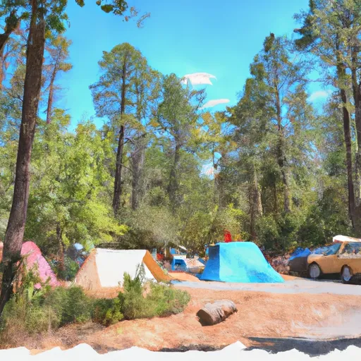 Napeequa Crossing Campground
|
||
 Grasshopper Meadows
|
||
 Grasshopper Meadows Campground
|
||
 White River Falls
|
River Runs
-
 Glacier Peak Wilderness Boundary To A Point Approximately 0.5 Mile Above The Tall Timbers Range At East Section Line Of Sec 13, T28N, R15E
-
 Glacier Peak Wilderness Boundary To Confluence With White River
-
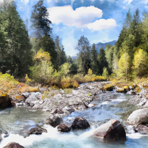 Headwaters In Sw1/4 Of Sec 21, T30N, R15E To Glacier Peak Wilderness Boundary And Including Twin Lakes Creek In Secs 16/17, T28N, R16E
-
 Headwaters In Sw1/4 Of Sec 5, T29N, R14E To Glacier Peak Wilderness Boundary
-
 Point At East Section Line Of Sec 13, T28N, R15E To Lake Wenatchee
-
 Headwaters In Ne1/4 Of Sec 36,T31N, R15E To Glacier Peak Wilderness Boundary

