Private Land Boundary To Head Of Lake Cle Elum Reservoir River Run
Community Reviews
Been here? Share the conditions.
Reviews, ratings & photos are added in the free Snoflo iOS app — rate a spot, tag the conditions, and your visit is verified by location. Add or manage your reviews from the app.
Private Land Boundary To Head Of Lake Cle Elum Reservoir
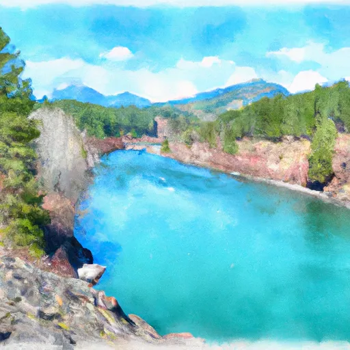
The Whitewater River Run is approximately 6 miles long, running from the Private Land Boundary to the Head of Lake Cle Elum Reservoir. Along the way, paddlers will encounter a number of exciting rapids, including "Boulder Drop," "Highway Bridge," and "Intestine," among others. These rapids vary in difficulty, and require careful navigation in order to avoid obstacles and stay safe on the water.
There are several regulations that apply to the Whitewater River Run, including the requirement for all paddlers to wear personal flotation devices (PFDs) at all times, to stay within designated river boundaries, and to respect the rights of private landowners along the river. Additionally, it is important to be aware of seasonal changes in water levels and to plan your trip accordingly, as water levels can rise quickly during spring runoff or after heavy rain.
Overall, the Whitewater River Run is an exciting and challenging river run that offers paddlers a thrilling adventure in a beautiful natural setting. With the right equipment, experience, and preparation, this stretch of river can provide an unforgettable experience for those seeking a new challenge on the water.
Plan your run down to the hour
Same weather feed Snoflo's iOS app uses -- updated continuously from NOAA / yr.no. Watch the precipitation column on the meteogram; rain ahead of a run typically lifts flows 12-48 hours later depending on the basin.
Next 5 days, hour by hour
Temperature line with weather symbols on top, snow + rain accumulation as columns, humidity as a dotted line.
5-day forecast table
Every 3 hours, broken out across temperature, snow, rain, humidity, and wind. Each cell is colour-coded relative to the column min/max.
| Time | Condition | Temp (°F) | Snow (in) | Rain (in) | Humidity (%) | Wind (mps) | Wind dir |
|---|---|---|---|---|---|---|---|
| Loading detailed forecast… | |||||||
15-day temperature & precipitation
Daily temperatures, snow, and rain projected over the next two weeks -- the upstream story that drives next week's flows.
Regional streamflow levels
USGS streamgauges around Private Land Boundary To Head Of Lake Cle Elum Reservoir -- useful for spotting upstream pulses and gauging which tributary is contributing what.
| Streamgauge | Discharge | View |
|---|---|---|
| Cedar River Below Bear Creek Near Cedar Falls | 18 cfs | → |
| Icicle Creek Above Snow Creek Near Leavenworth | 168 cfs | → |
| Sf Snoqualmie River Ab Alice Creek Near Garcia | 34 cfs | → |
| Cedar River Near Cedar Falls | 31 cfs | → |
| American River Near Nile | 50 cfs | → |
| Rex River Near Cedar Falls | 7 cfs | → |
Plan a longer trip
The closest boat launches, other paddle runs, and campgrounds so a day on the water can grow into a full weekend.
Boat launches
- Salmon La Sac Road, Ronald
- Wish Poosh Campground And Picnic Area
- Cooper Lake Boat Launch
- Bakers Lane, Easton
- Lake Cabins Road Kittitas County
- Lake Easton State Park
Other river runs
- Headwaters In Se1/4 Of Sec 29, T24n, R13e To Confluence With Cle Elum River
- Alpine Lakes Wilderness Boundary To Private Land Boundary At North Section Line Of Sec 3, T23n, R14e
- Headwaters In Nw1/4 Of Sec 12, T24n, R13e To Alpine Lakes Wilderness Boundary
- Alpine Lakes Wilderness Boundary To Confluence With Tye River
- Headwaters At Josephine Lake To Alpine Lakes Wilderness Boundary
Campgrounds
- Cle Elum River Campground
- Cle Elum River
- French Cabin Creek Recreation Area
- Red Mountain
- Cayuse Horse Camp
- Salmon La Sac
Parks
Whitewater safety
- Check the flow before you run
- Use the linked-gauge card and Regional Flow panel above. Class ratings change with flow -- a Class III at low water can become Class IV+ at high water.
- Know your skill ceiling
- Pick runs comfortably below your ceiling. Cold-water and big-water runs raise the consequences of any mistake.
- Wear the right gear
- Helmet, PFD, drysuit / wetsuit when water is below 60°F. Throw bag, knife, and whistle on your person, not in the boat.
- Scout, set safety, and run with a team
- Scout new rapids on foot, set safety with throw bags above the consequence pool, and run with at least one other competent paddler.
- Respect the river
- Strainers, undercuts, low-head dams, and wood can kill at any class rating. When in doubt, portage.
Set push alerts in the Snoflo app
Save Private Land Boundary To Head Of Lake Cle Elum Reservoir as a favorite, set a discharge threshold (e.g. "alert me when flow hits 600 cfs"), and the iOS app pushes the moment the linked gauge crosses.
About Private Land Boundary To Head Of Lake Cle Elum Reservoir
What's the optimal flow for Private Land Boundary To Head Of Lake Cle Elum Reservoir?
The optimal flow depends on the section and the craft. Check the Run Details panel for the linked gauge and current status.
How fresh is the cfs reading on this page?
The linked USGS streamgauge reports continuously (every 15 minutes); Snoflo refreshes throughout the day. Hover the streamflow sparkline to read individual datapoints.
What's the whitewater class?
See the Run Details panel for the class rating Snoflo tracks for this run. Class ratings change with flow -- a Class III at low water can become Class IV in high water.
Where do I put in / take out?
Tap Directions in the hero above to open driving directions to the put-in. For shuttle planning, check the Nearby Boat Launches panel and the river run operator's site.
Can I get alerts when flows hit the optimal range?
Yes -- alerts are managed in the Snoflo iOS app. Favorite this run, set a discharge threshold, and you'll get a push the moment the gauge crosses.
Other runs near here
Snoflo-tracked paddle runs within driving distance of Private Land Boundary To Head Of Lake Cle Elum Reservoir.