Headwaters In Nw1/4 Of Sec 6, T29n, R14e To Glacier Peak Wilderness Boundary Paddle Report
Last Updated: 2026-02-07
Get the latest Paddle Report, Streamflow Levels, and Weather Forecast for Headwaters In Nw1/4 Of Sec 6, T29n, R14e To Glacier Peak Wilderness Boundary in Washington. Washington Streamflow Levels and Weather Forecast
Summary
°F
°F
mph
Wind
%
Humidity
15-Day Weather Outlook
River Run Details
| Last Updated | 2026-02-07 |
| River Levels | 1600 cfs (4.05 ft) |
| Percent of Normal | 92% |
| Status | |
| Class Level | None |
| Elevation | ft |
| Streamflow Discharge | cfs |
| Gauge Height | ft |
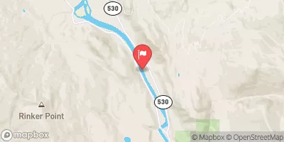
| Reporting Streamgage | USGS 12186000 |
5-Day Hourly Forecast Detail
Nearby Streamflow Levels
Area Campgrounds
| Location | Reservations | Toilets |
|---|---|---|
 Bedal Campground
|
||
 Bedal
Bedal
|
||
 Sulphur Creek Campground
|
||
 Red Creek
|
||
 Suiattle Guard Station
|
||
 Buck Creek
|
River Runs
-
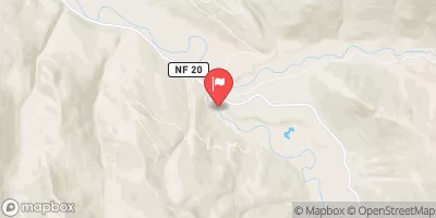
 Headwaters In Nw1/4 Of Sec 6, T29N, R14E To Glacier Peak Wilderness Boundary
-
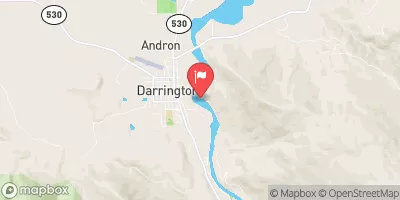
 Headwaters In Sw1/4 Of Sec 19, T29N, R14E To Boundary Of The North Fork Sauk Portion Of Skagit Wsr
-
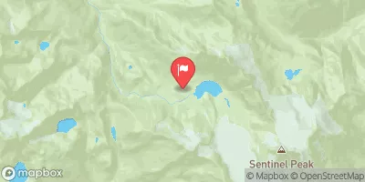
 Glacier Peak Wilderness Boundary To Confluence With Suiattle River
-
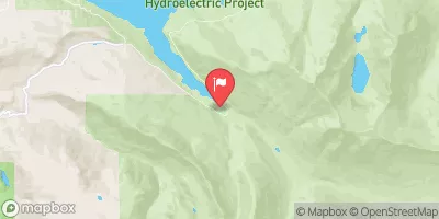
 Headwaters In Nw1/4 Of Sec 23, T33N, R13E To Glacier Peak Wilderness Boundary
-
 Headwaters In Ne1/4 Of Sec 4, T33N, R12E To Glacier Peak Wilderness Boundary


