Summary
The ideal streamflow range for this run is between 500-1500 cfs, depending on the experience level of the paddlers. The class rating for this run is III-IV, with some sections reaching class V during high water. The segment mileage for this run is approximately 9 miles, with several notable rapids and obstacles.
One of the most challenging rapids on this run is S-Turn, which is a class IV rapid that requires precise maneuvering through a narrow and technical channel. Another notable obstacle is Boulder Drop, a class III+ rapid that features a large boulder in the middle of the channel that requires paddlers to navigate around it.
In terms of regulations, paddlers are required to obtain a permit from the Washington Department of Fish and Wildlife to access this run. Additionally, there are restrictions on the use of motorized watercraft, as well as regulations regarding camping and fires in the surrounding area.
°F
°F
mph
Wind
%
Humidity
15-Day Weather Outlook
River Run Details
| Last Updated | 2026-02-07 |
| River Levels | 725 cfs (2.54 ft) |
| Percent of Normal | 51% |
| Status | |
| Class Level | v-iv |
| Elevation | ft |
| Streamflow Discharge | cfs |
| Gauge Height | ft |
| Reporting Streamgage | USGS 12167000 |
5-Day Hourly Forecast Detail
Nearby Streamflow Levels
Area Campgrounds
| Location | Reservations | Toilets |
|---|---|---|
 River Meadows County Park
|
||
 Steelhead Group Camp
|
||
 Meadow Fields Camp Site
|
||
 Grouse Camp Site
|
||
 Wenberg County Park
|
||
 Bear Group Camp
|


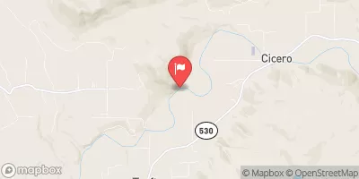
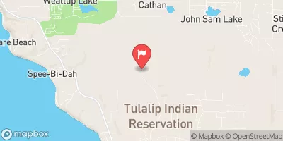
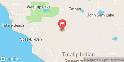
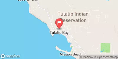


 Snohomish County
 Canyon Creek To Confluence With North Fork Stillaguamish River
 Headwaters In Ne1/4 Of Sec 14, T29N, R10E To Confluence With Canyon Creek
 Haller Bridge Park
 River Meadows County Park
 Lake Goodwin Community Park
 Wenberg County Park
 Tuscany Ridge Park